Maybe you have some young people in your world these days looking for things to do to feed their curiosities and continue their learning close to home. As in very close to home. The great pandemic of 2020 has turned our lives upside down in so many ways, and it’s brought your kids’ classroom to your dining room table.

Old Vernon School classroom, about 1915.
Here’s a sliver of good news: You happen to be living in a century-old time machine on a landscape that has been in constant change and full of opportunities for imagination, exploration, expression, activity and insight.
Each Monday during the spring of 2020, we provided a weekly focus on local history explorations that include activities and questions to get you going. We think these activities are fun and meaningful for kids of all ages, like us!
- We started by encouraging history detectives to search out and meet the ubiquitous Elwood Wiles, whose name is on sidewalks all over the eastside from 1910-1915.
- We suggested tools for figuring out the story of your house, including finding your earliest plumbing permits and your old street address.
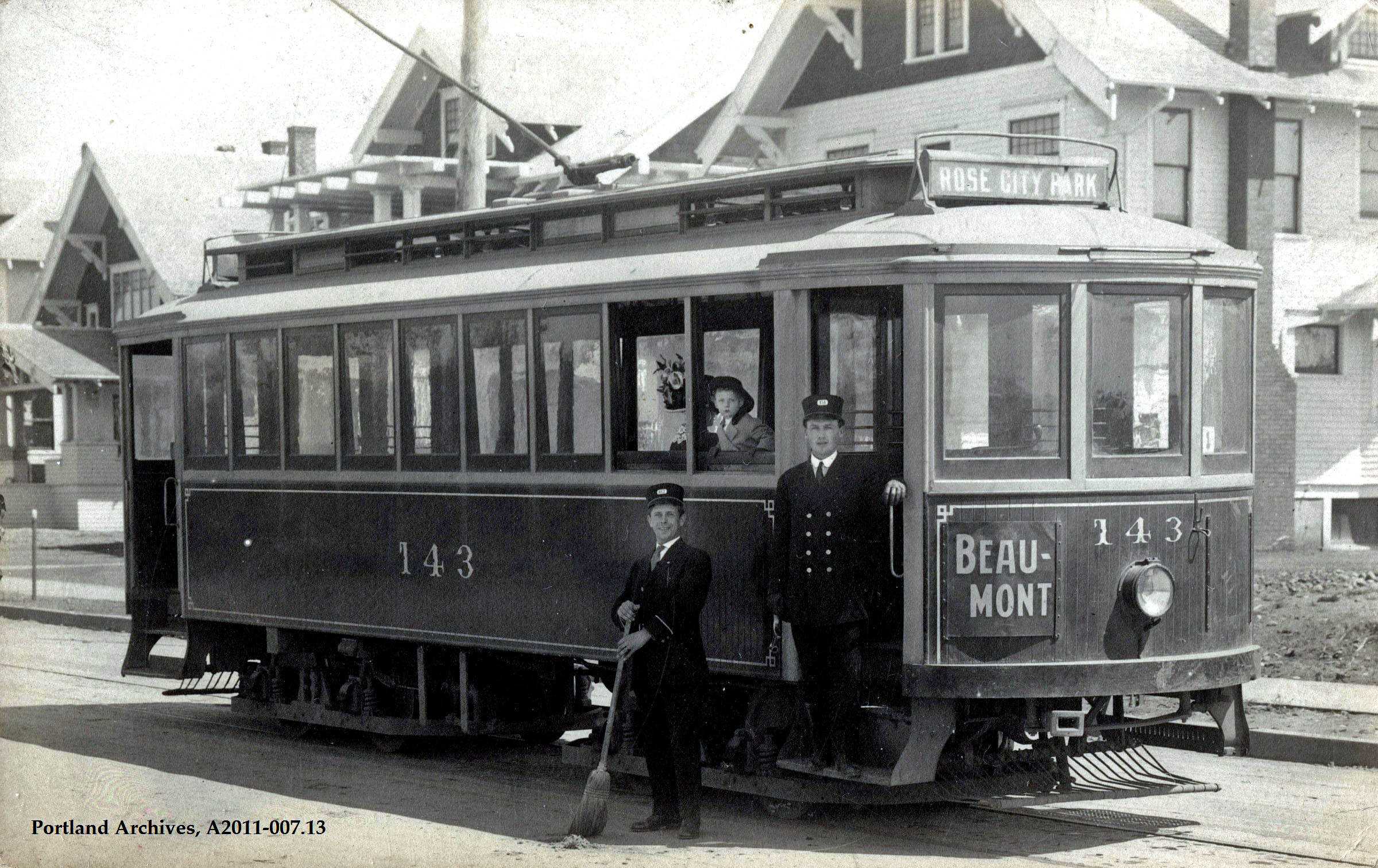
- Discovering your nearest streetcar route and considering what the streetcar meant to our neighborhoods came next.
- We went on safari to neighborhood schools with 1924 maps in hand, and tales of school buildings long gone.
- Our oldest residents—our trees, and in particular our Heritage trees—came next with walks, tree ID keys and stories of the Pearson Pine.
- And then the horses: thinking about what horses meant to these neighborhoods. They were fundamental to our early life and the energy they invested still shapes the ground we walk. Their plows and wagons build the eastside grid.
- Lastly, we put together a time capsule to pass forward to the future, a message in a bottle about what a strange time this has been.
Each lesson plan has a package of things to do and think about, from using old maps to drawing a map of your neighborhood today, to locating a current view from old photos, to exploring local parks in search of their history.
Enjoy.