Carl F. Ruef, Alameda florist and builder

Five homes in the Alameda neighborhood were built by a multi-talented “moonlighting” florist during the boom years of the 1920s.

During the Great Depression years of the late 1920s and early 1930s, Alameda florist and home builder Carl F. Ruef lost his fight with his Alameda neighbors and the City of Portland to open a greenhouse and flower shop at NE 24th and Fremont. But his local handiwork survives as a testament to the resourcefulness of that time, the chutzpah of his big mid-life move, and the boom times of homebuilding in the mid 1920s.

Ruef built and lived in the Mediterranean-style home at 2208 NE Regents from 1924-1930 before building and moving into the small Tudor revival style home at 2425 NE Fremont. Both homes survive today and were bookends of his Alameda experience.

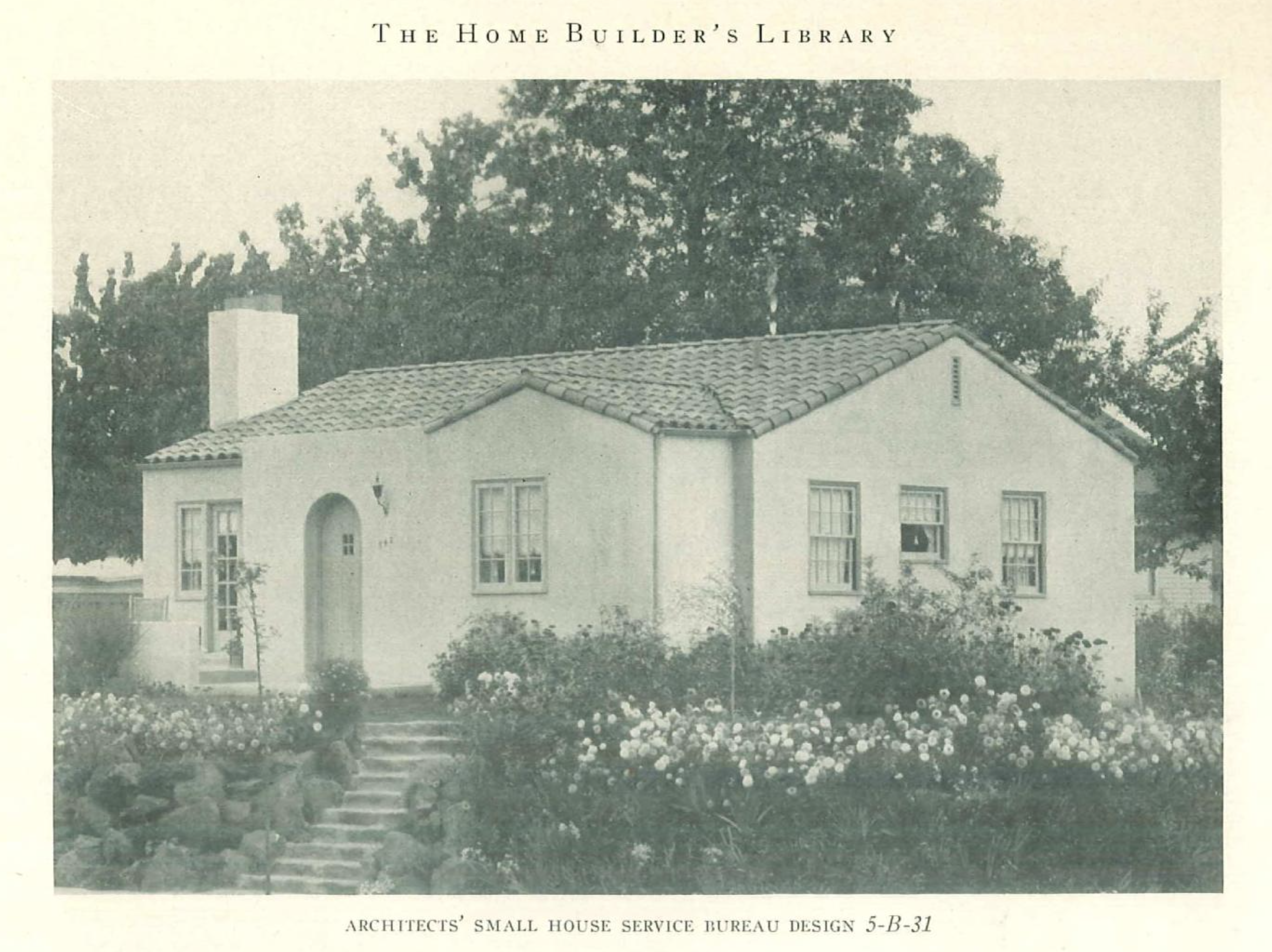
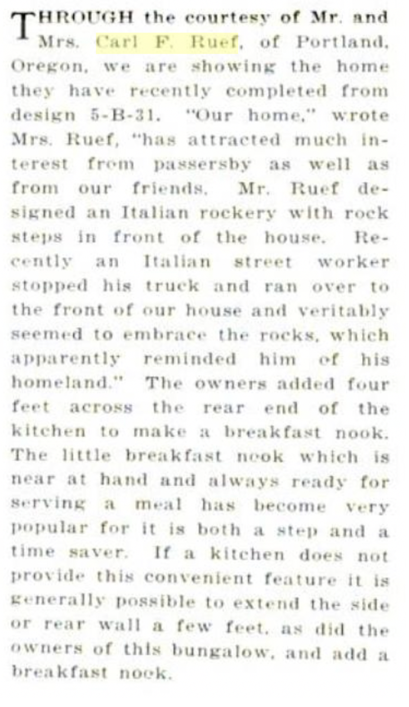
​​From The Small Home: Financing, Planning Building, Monthly Service Bulletin No. 41, July 1925. Published by The Architects’ Small House Service Bureau of the United States, Inc. This was the home of Carl F. and Florence Nichols Ruef from 1924-1930. Prior to Portland’s Great Renumbering of 1930-1931, the home was originally addressed as 742 Regents. Today it is 2208 NE Regents.

Carl F. Ruef was a first-generation American from German immigrant parents who was born in Claremont County Iowa on May 20, 1879 and grew up in Salem, Oregon. With his brother Edward, Ruef established the largest floral greenhouse operation in Oregon outside of Portland near the intersection of 17th and Market Street in Salem, with a retail storefront in downtown Salem. In the 19-teens Ruef, built a reputation as Salem’s leading florist, knowledgeable about all aspects of flower growing, gardening, and the cultivation of fruits and berries.

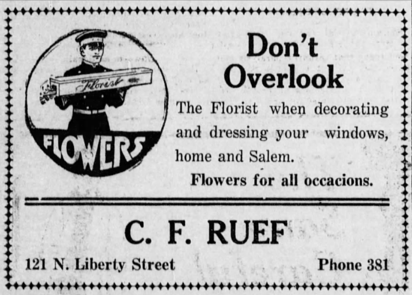
From the Capital Journal, October 31, 1916.

Carl Ruef lived at home with his parents until age 39, when in a bold moment after their deaths he sold the Salem greenhouses and florist business, married Statesman-Journal newspaper social columnist Florence Elizabeth Nichols (ten years his junior), had a baby daughter Mary, and moved to Portland.

Once in Portland, Ruef first appears in city directories as a gardener, living with wife and daughter at 2328 SE Yamhill Street. Evidently, he was also preparing to launch a career as a homebuilder. In 1923, he built 1832 SE Hazel (where the family lived briefly), and two homes that share a back fence: 3527 NE 29th Avenue and 2816 NE Ridgewood. In 1924, Ruef is listed in city directories as a builder; the Ruef family was living in the home he built at 2208 NE Regents, which still stands today.

This third home known to be built by Ruef—located on the southeast corner of NE 22nd and Regents—appeared in several publications, including a catalog of building plans published by the Architects’ Small House Service Bureau. Accompanying the 1925 photo above is the following short story and a quote from Florence Ruef about the house and its landscaping:

1924 was a busy year for new homebuilder Ruef: he built the Regents, Ridgewood and NE 29th Avenue houses and the home at 3834 NE 23rd.

Starting in December 1925, the Ruefs attempted to sell the Regents house for $9,000, advertising it as follows: “Choice Spanish bungalow, a positive sacrifice by owner, tile roof, oversize grounds, gas fired hot water heater, illuminated at night.”

But the Regents house didn’t sell and the Ruef family continued to live there until 1930 when they moved into the final home he built, the tiny English Tudor at 2425 NE Fremont.

Meanwhile in the late 1920s, Ruef turned back toward the floral business, opening and then later selling the Irvington-Alameda Floral Company at 1631 NE Broadway.

The Great Depression years of the early 1930s were a challenging time for the Ruef family and for most families in Portland. They continued to live in the small English Tudor on Fremont where they rented out one of the three tiny bedrooms for $12 per month. On March 22, 1931 Ruef advertised the room for rent in one part of the classified ads, and in a different section sought a loan offering the house as collateral: “Want $2,750 on $8,000 new residence, 6 percent no brokerage fee.” He was evidently trying to capitalize a new floral business.

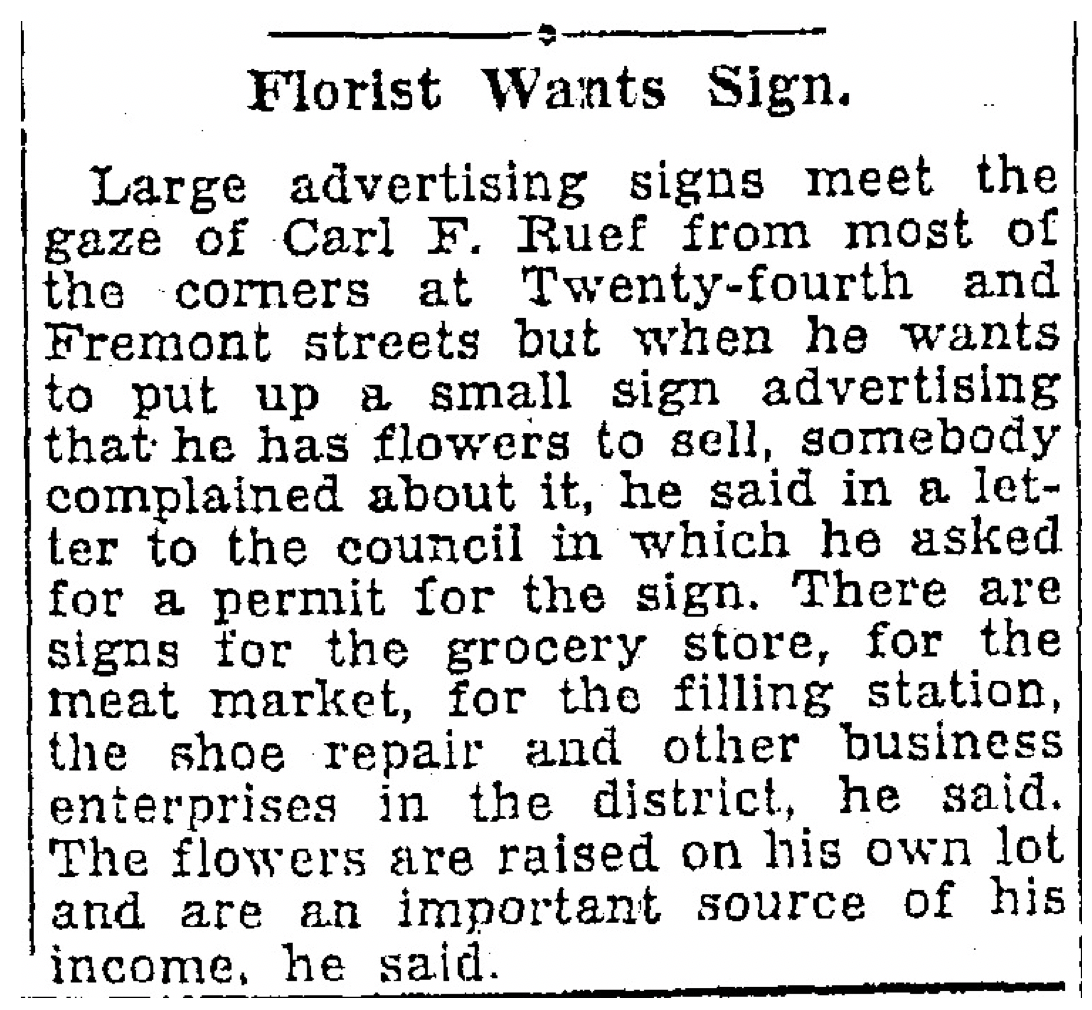
Working out of the small house on Fremont, Ruef attempted to turn his florist know-how into an income stream for his family, initially growing flowers in the backyard and eventually seeking city permission to put up a small sign advertising the business, and later to convert the garage into a greenhouse.

From The Oregonian, May 13, 1931

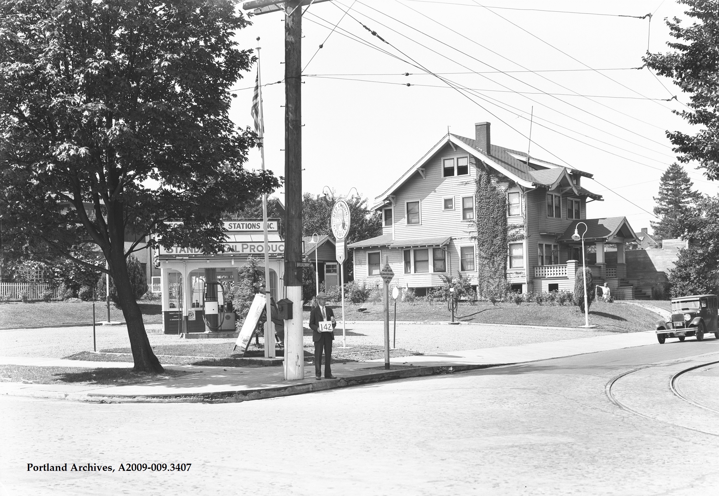
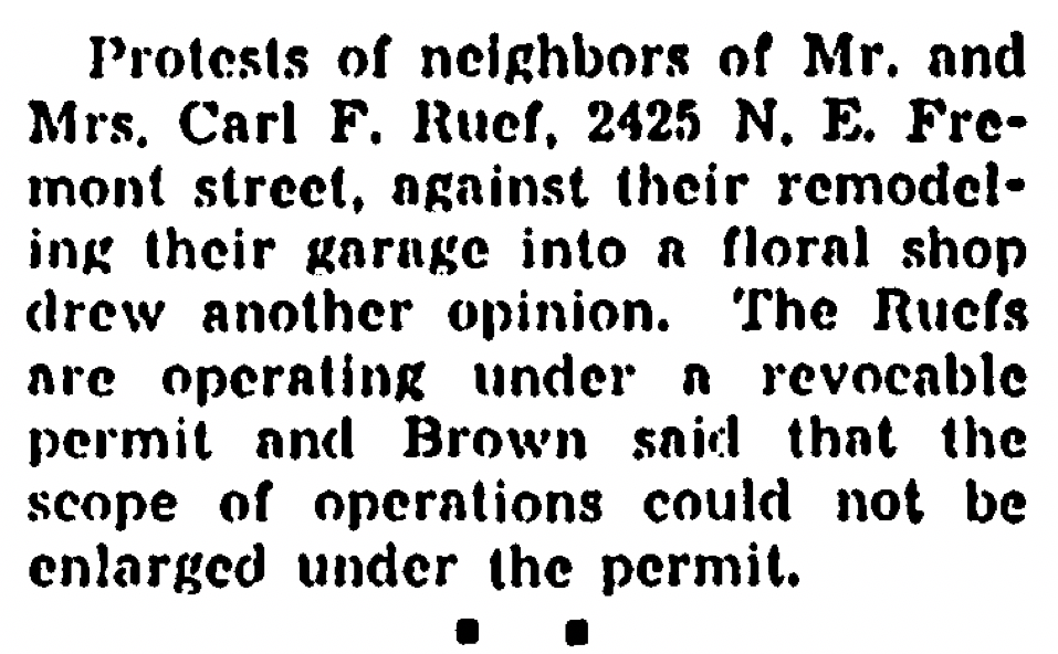
In May 1931 he requested a zone change and permission to put up a sign for his flower business facing Fremont: the lot to the west, location of today’s Childroots Daycare, was vacant during those years as was the residential lot to the east. But neighbors didn’t like the idea of businesses in the Alameda Park Addition period, stemming in part from the original deed restriction prohibiting businesses in the neighborhood, and complained to the city which in December shut down both the sign request and later the zone change which would have allowed Ruef to open a small flower shop.

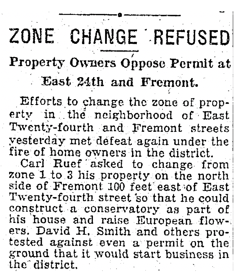
From The Oregonian, December 31, 1931

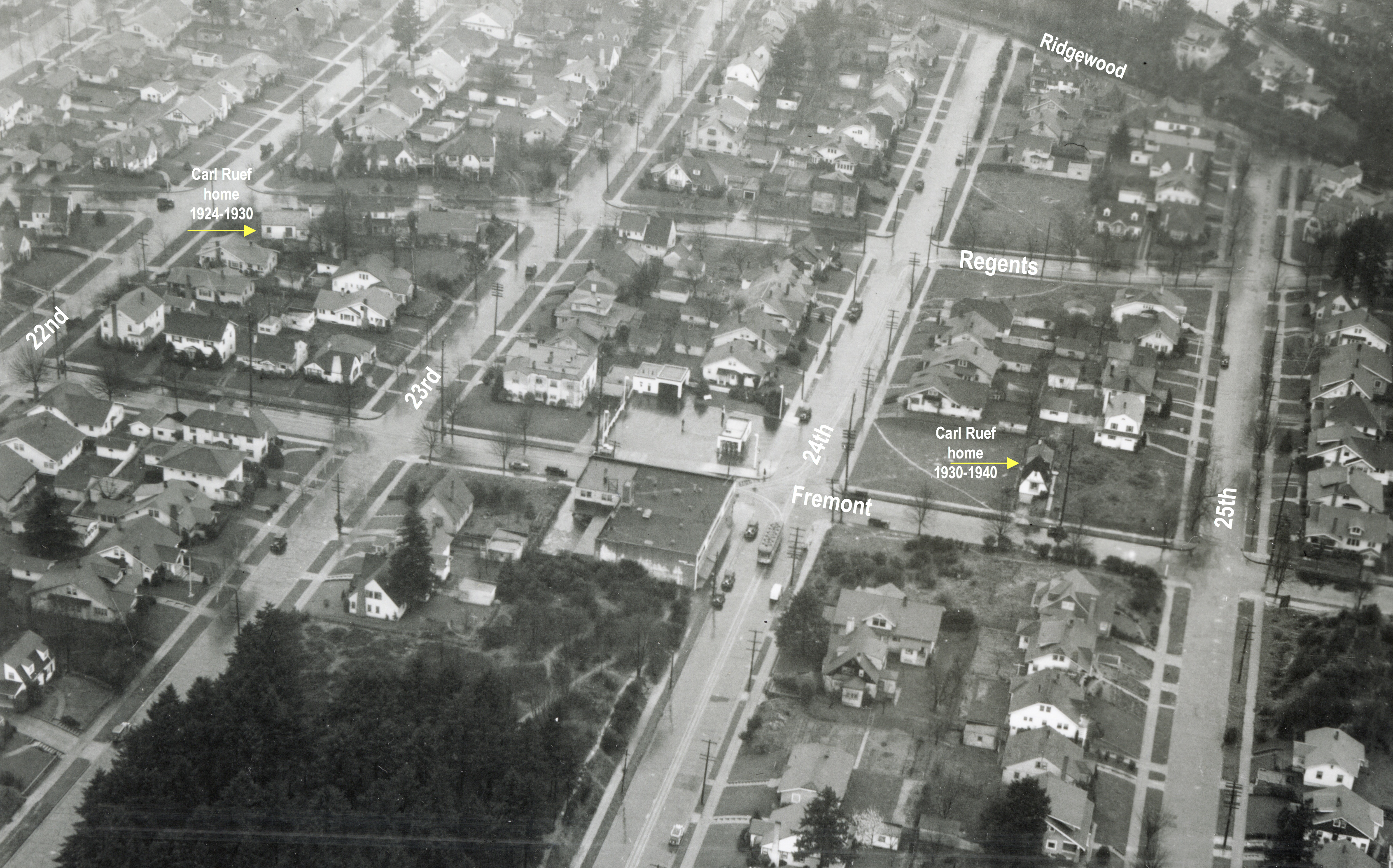
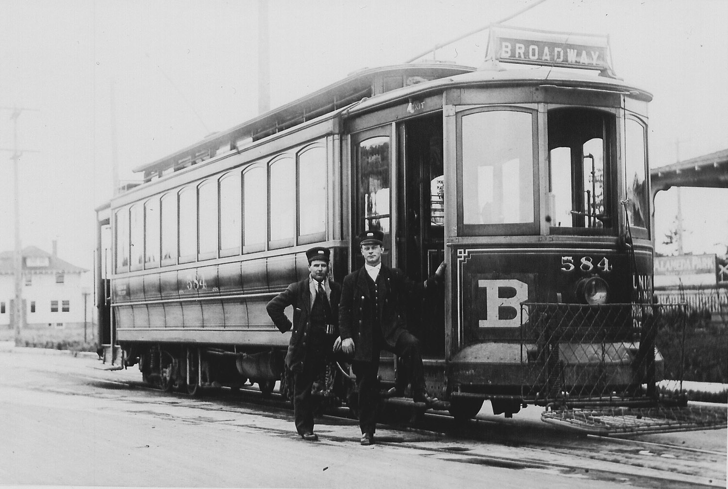
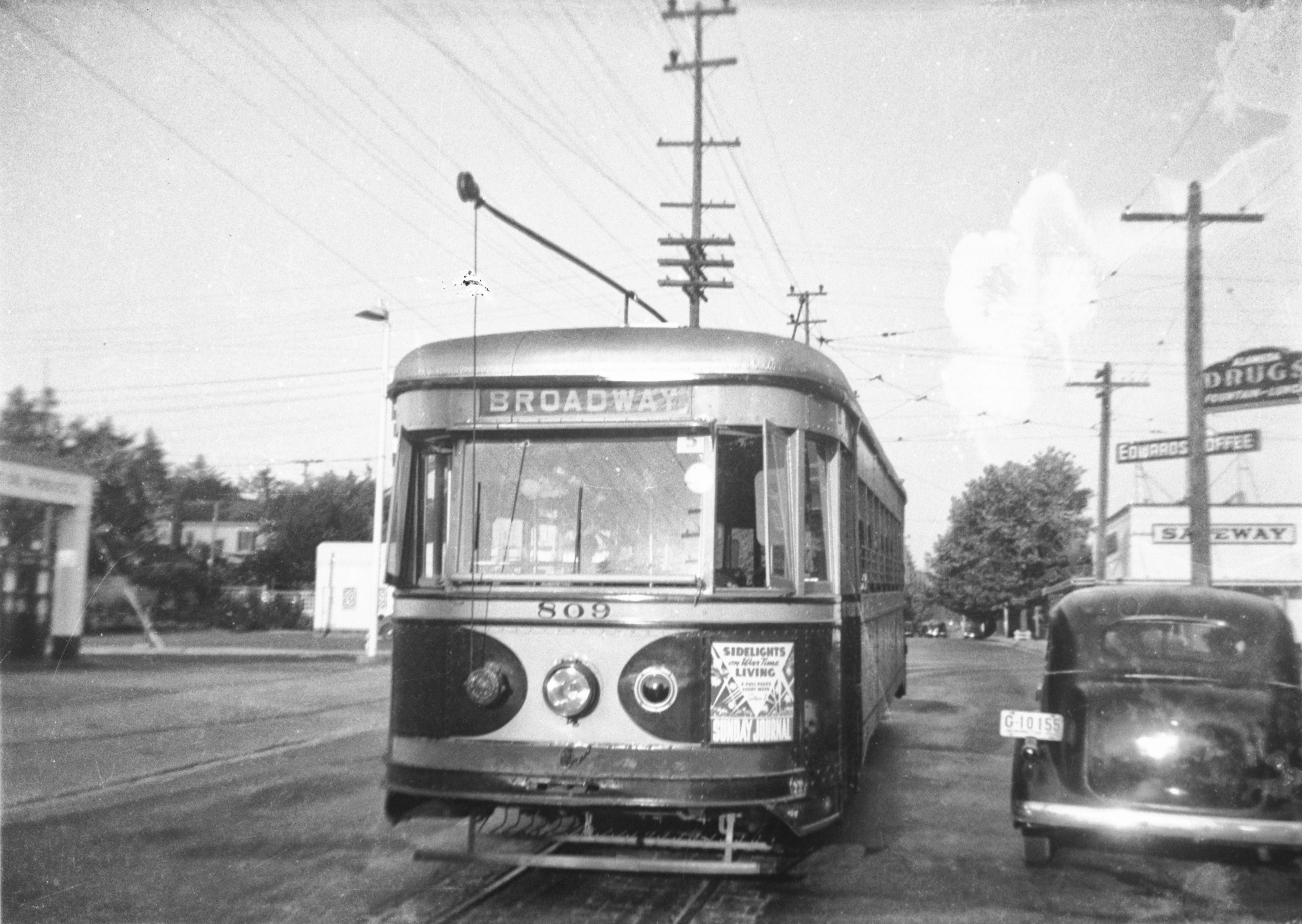
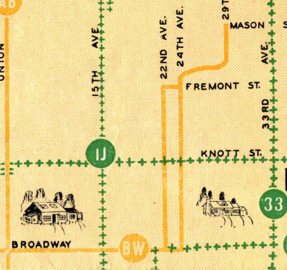
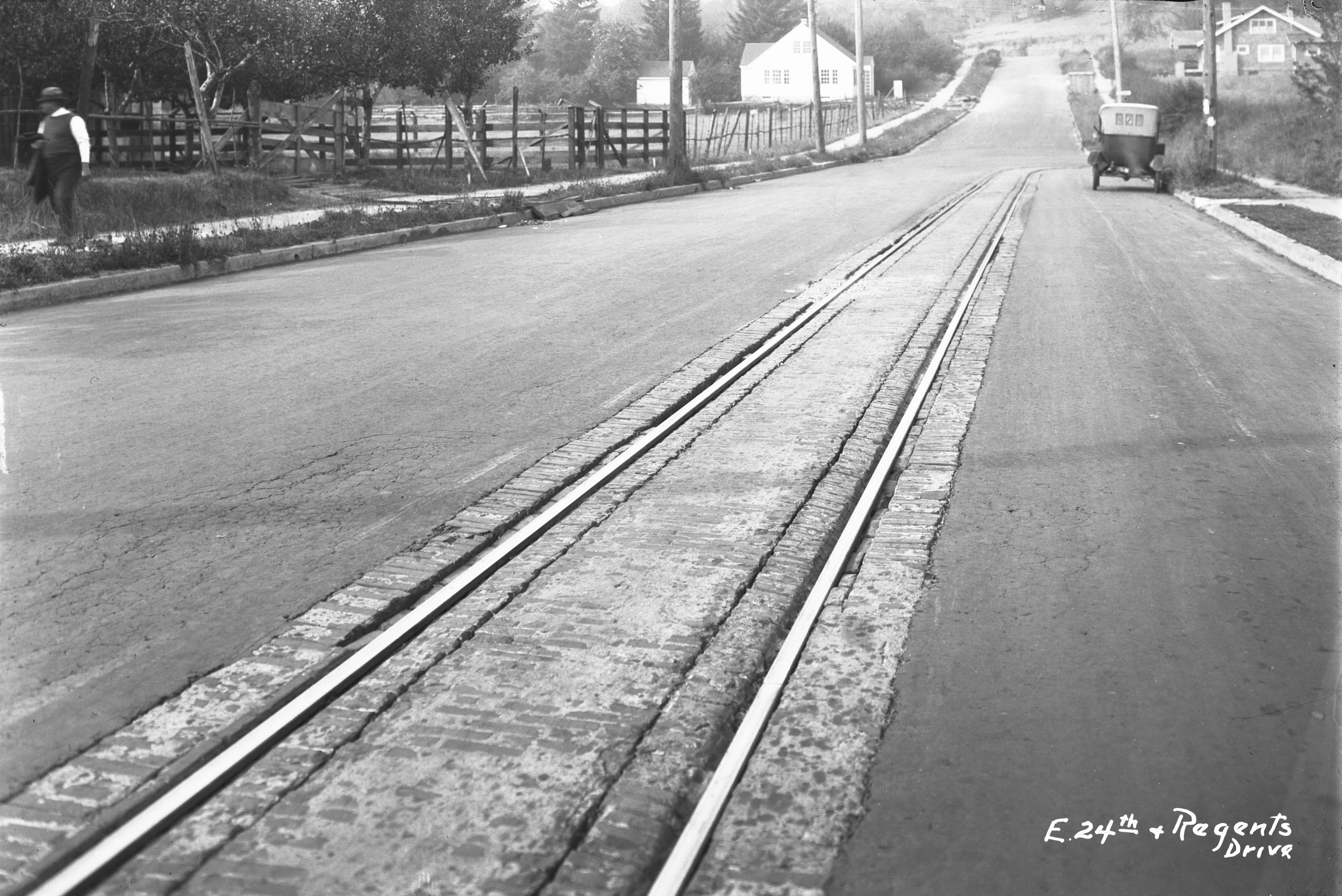
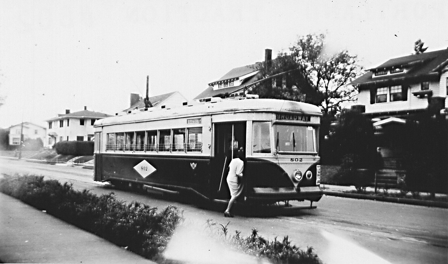
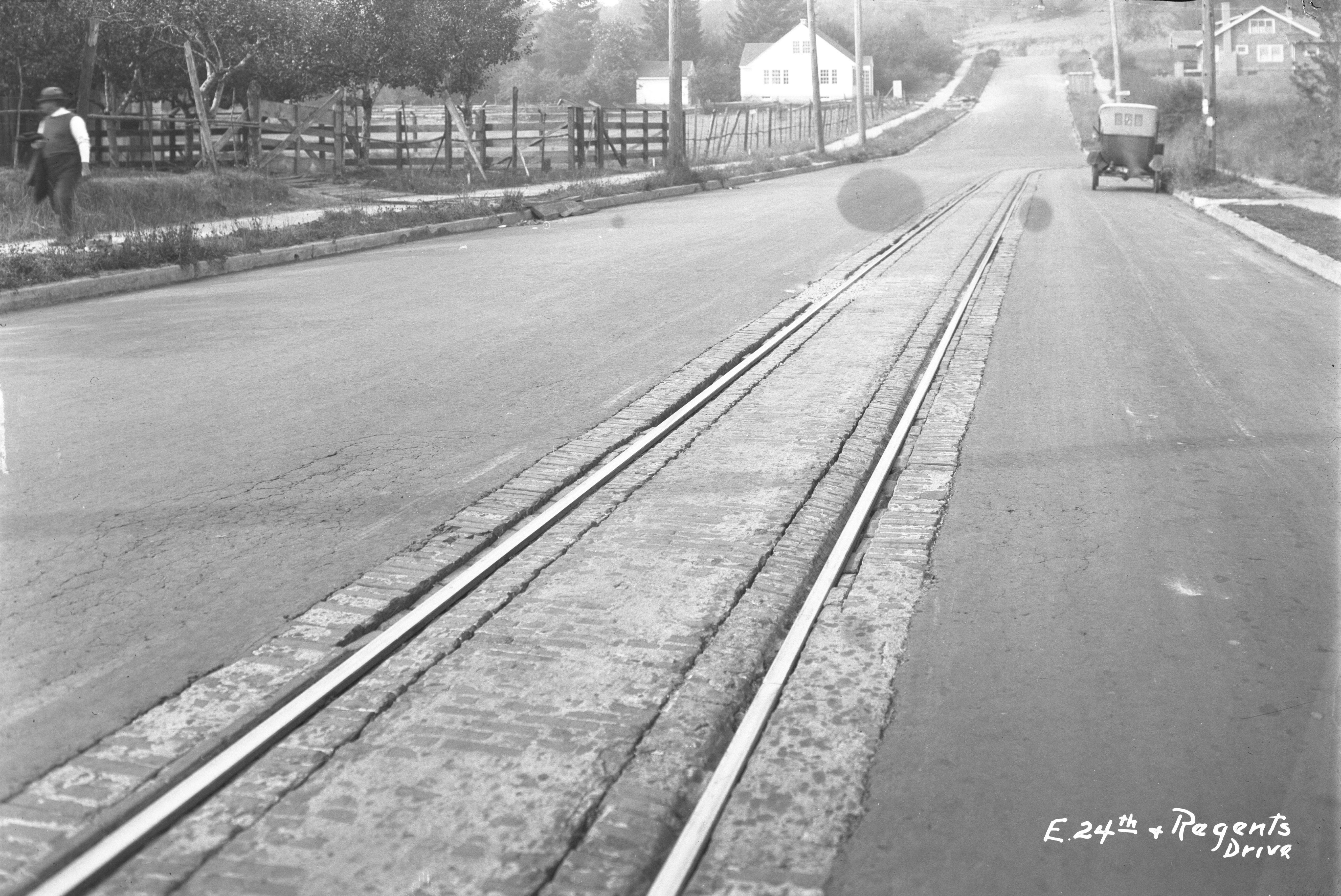
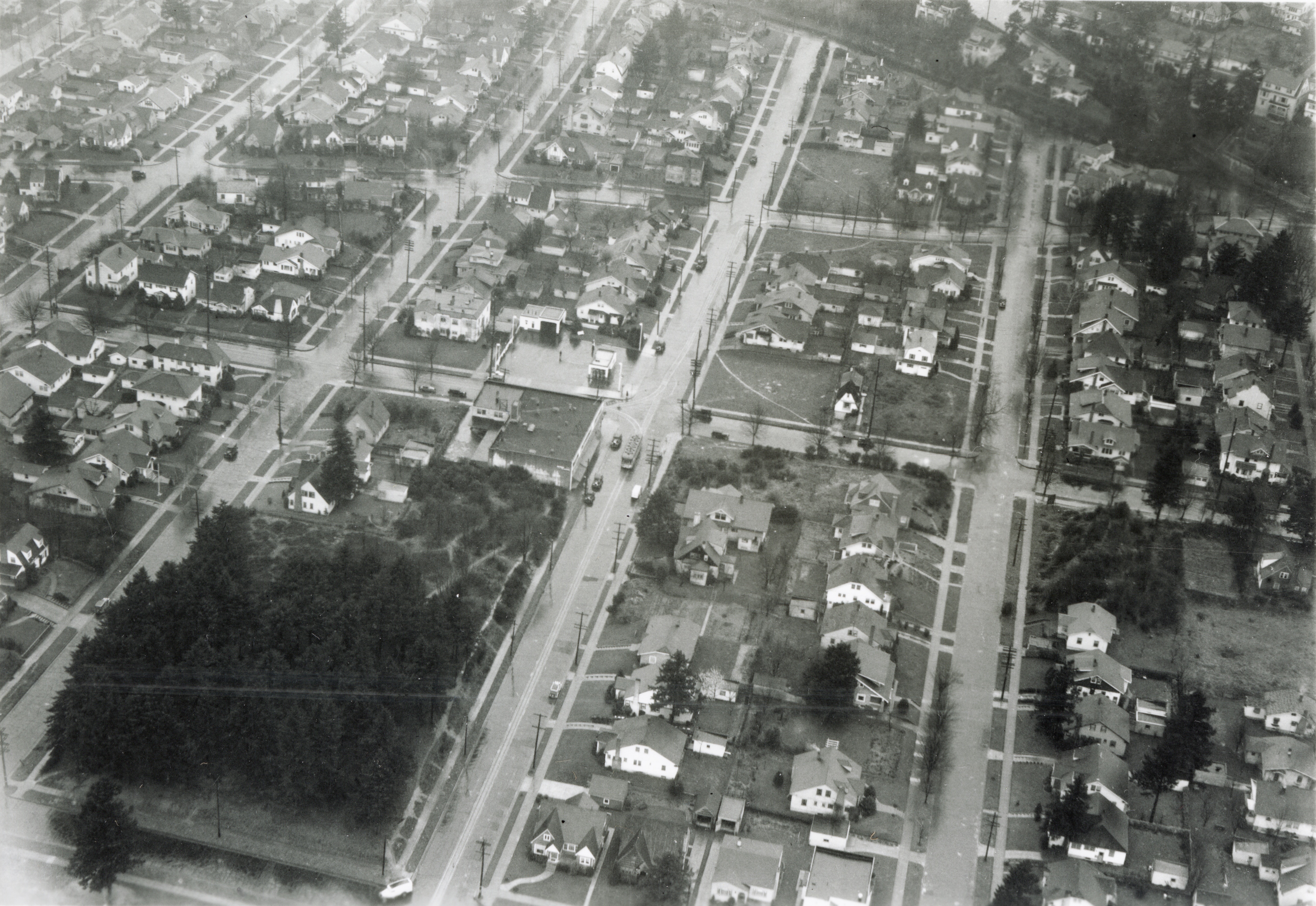
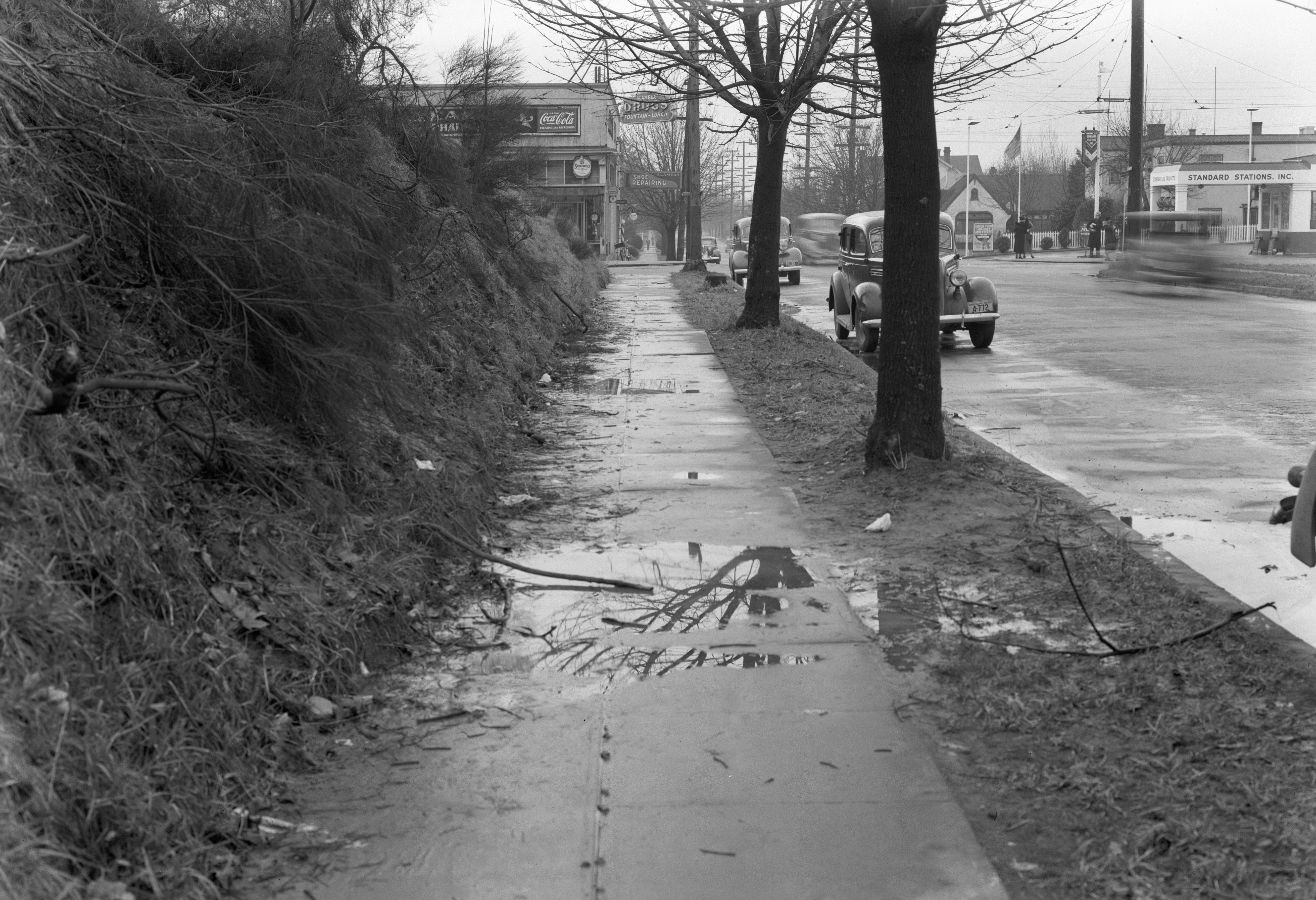
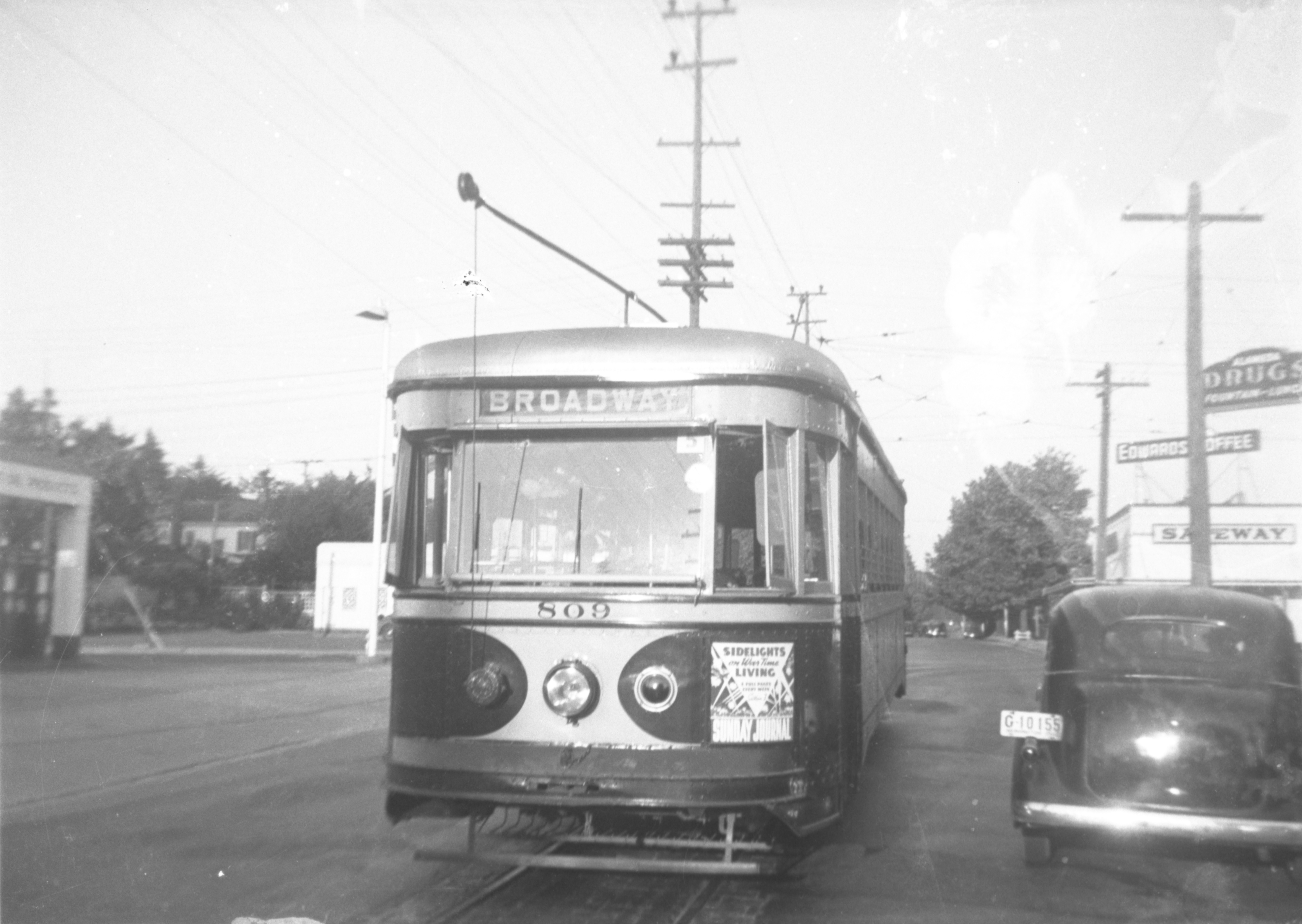
This annotated photograph from a rainy day in 1935 (click to enlarge) shows the home Ruef built at 2425 NE Fremont where he wanted to establish a flower shop, and the home he built in 1924 at 2208 NE Regents in upper left. The vacant lots either side of the Fremont house would have been perfect for the greenhouse he had in mind. Note: the Broadway Streetcar waiting at the corner of Fremont and 24th in front of the Alameda Pharmacy; the gas station on the northwest corner; and the vacant lots on both the southeast and northeast corners. Original photo courtesy of Portland City Archives, A2005-005.1421.2. For more views of this intersection, click here.

Due to the strong neighborhood opposition, the Ruefs gave up on the home-based business idea and in 1932 rented space at 3125 East Burnside for a new business, Carl Ruef Floral. They continued to live at 2425 NE Fremont and grow some flowers under a revocable city permit. The 1940 census found all three there, listing Carl at age 60, proprietor of a florist shop; Florence, 48, was keeping house; and daughter Mary, then 20, was a model of ladies’ apparel.

From the Oregon Journal, August 29, 1939

When Carl died suddenly one year later in December 1941, the family was living at 1412 SE 25th. His death certificate notes he was a “retired florist and landscape architect.”

Florence and Mary continued to live together until 1943, when Mary moved to Chicago with her new husband Howard Fay, and Florence remarried Portland railroad dispatcher Olof Olsson. Mary was back in the Portland area in the mid 1970s, remarried after her first husband’s death, working as a real estate agent until her own passing in 1985. Florence lived briefly in the late 1950s with her new husband in a Las Vegas trailer park before returning to the Portland area where she died in 1989 at age 100.

Three Mile History Walk | Follow the Broadway Streetcar

Here’s a neighborhood walk that makes a nice outing and puts you on the well-worn pathway of earlier years—a history-hunt of sorts to bridge past and present and imagine a time when Alameda was younger and connected to downtown courtesy of the clanky, drafty, dependable Broadway Streetcar.

Broadway Streetcar 568 at the end of the line, 29th and Mason. This photo was taken soon after the line was built in 1911, prior to construction of homes and infrastructure.

You can enter this walking loop just about anywhere on the course of the streetcar’s roundabout transit through the neighborhood, and you can head either north or south. But, just to be orderly about it, how about starting at the end of the line: NE 29th and Mason. That’s where the Broadway streetcar stopped, where the motorman would step outside for a smoke and a look at his watch.

Here’s the same view at NE 29th and Mason, about 1912-13. Note paved streets, absence of mud and brush, and presence of two buildings. The house to the left stands today and is 4206 NE 29th. The building on the right was the Alameda Land Company tract office (a temporary structure at the southeast corner of the intersection), where prospective buyers who exited the streetcar could meet with salesmen and look at subdivision maps. Check out this post which has other views of this intersection and more about the early Alameda Park neighborhood.

From the end of the line, walk south on 29th to Regents, where the streetcar passed through the “Bus and Bicycle Only” notch at Regents and Alameda. The streetcar turned right and went down the hill here, and you should too, following Regents to NE 24th Avenue where you’ll turn left (south). Continue south on 24th to Fremont and then turn right on Fremont to go west for a couple blocks, just like the old 809 shown below. See if you can orient yourself in just about the same place.

Broadway line car 809 rounds the corner at 24th and Fremont, looking east, 1940. Courtesy of Portland City Archives A2011-007.65. Click to enlarge for a better view. The Safeway building is today’s bank and Alameda Dental. The sign for Alameda Drugs is hanging on the side of today’s Lucca restaurant. Here’s a link to more views of the intersection at NE 24th and Fremont.

At NE 22nd, turn left (south) and enter the long southbound leg of the circuit. Note just how wide the street is: a clue that you are on the streetcar route.

Detail from 1945 Portland Traction Company Map. The green + signs illustrate bus lines. The yellow lines are streetcars. By 1948 Portland’s streetcars had all been removed.

After a good, long straight stretch, when you hit Tillamook and 22nd, you’ll find a modest “S” curve, where the streetcar zigged and zagged on its way south to connect with Broadway. Follow along just for fun. But instead of turning west on Broadway (right) like the streetcar did on its way downtown, turn left (east) and walk back to NE 24th, where you turn left (north) and head back through the neighborhood. Now you’re back on the path of the Broadway Car—the northbound side of the circuit—and headed toward the end of the line.

Believe it or not, this is looking southwest at the southwest corner of Broadway and 24th in the summer of 1929, before Broadway was widened. See the streetcar rails sweeping from west to north here in the lower right corner? This service station sits where Spin Laundry Lounge is in 2018. The man holding the number works for the city; the number designates that tract of property for further reference. Click to enlarge. Courtesy of City of Portland Archives, image A2209-009.3407.

Continue north on 24th, cross Fremont and turn right (east) on Regents, where you go back up the hill on your way to the end of the line. Here’s a cool view of NE 24th and Fremont looking north, taken in about 1921. Can you line up in the footsteps of the photographer? The houses you can see in this 1921 photo are still there today.

NE 24th and Fremont looking north, taken in 1921. Courtesy of Portland City Archives, image A2009-009.1858

At the top of Regents, pass through the bus notch again and go a few more blocks to Mason, and you’ve arrived at the end of the line. Here’s a photo looking south on NE 29th, from the southeast corner of Mason. See if you can line up in the footsteps of history: pretty much everything but the streetcar and the rails are still visible today.

Turn-by-turn:

Start: 29th and Mason

  1. Walk south on 29th to Regents, turn right and go down the hill.
  2. At 24th, turn left (south off of Regents).
  3. Walk to Fremont and 24th, turn right on Fremont (west off of 24th).
  4. Walk two blocks on Fremont and turn left on 22nd (south off of Fremont).
  5. Keep walking south on 22nd to Tillamook.
  6. Navigate the zig-zag at Tillamook and stay south on 22nd to Broadway, turn left (east off of 22nd).
  7. Walk east on Broadway to 24th, turn left (north off of Broadway).
  8. Walk north on 24th, crossing Fremont, and turn right on Regents (east off of 24th).
  9. Walk up the hill on Regents to 29th, turn left through the notch (north off of Regents).
  10. Walk north on 29th to Mason and you have reached the end of the streetcar line.
  11. Tip your hat to the motorman and the generations of Alamedans who depended on this train.

Some things to look for on your walk…

Notice how 29th narrows on the north side of the intersection. The wider stretch of street to the south was necessary to accommodate the rails and the traffic. Have a good look at Northeast 22nd and you’ll notice how much wider it is than any of our north-south streets. There are other clues to be found in the alignment of power poles, and in the remnants of rail unearthed from time to time during street repairs.

A little more history about our streetcar…

Two generations of our neighbors grew up relying on the Broadway streetcar to take them where they needed to go. Ever-present, often noisy, sometimes too cold (or too hot), but always dependable, the Broadway car served Alameda loyally from 1910 to 1948.

Sensitive to the transport needs of its prospective customers, the Alameda Land Company financed construction of the rails and overhead electric lines that brought the car up Regents Hill to 29th and Mason. Developers all over the city knew access was one key to selling lots, particularly in the muddy and wild environs that Alameda represented in 1909.

In 1923, a trip downtown cost an adult 8 cents. Kids could buy a special packet of school tickets allowing 25 rides for $1. In 1932, a monthly pass for unlimited rides cost $1.25. Alamedans used the streetcar as a vital link to shopping, churchgoing, commuting to the office, trips to the doctor. Some even rode the line for entertainment. A few rode looking for trouble. And at least one elderly rider frequently took a nap in the front yard at the end of the line while waiting for the streetcar.

During the day, cars ran every 10 minutes, and Alamedans referred to them as “regular cars” or “trains.” During the morning and evening rush hours, additional cars called “trippers” were put into the circuit to handle additional riders. Trippers did not climb the hill to 29th and Mason, traveling only on the Fremont Loop to save time. At night, our line was one of the handful in Portland that featured an “owl car,” a single train that made the circuit once an hour between midnight and 5 a.m. Owl service was a special distinction. The downtown end of the line was Broadway and Jefferson.

The Broadway streetcar was replaced by bus on August 1, 1948. By 1950, all of Portland’s once ubiquitous streetcar lines were gone. In the early days of neighborhood life, our streetcar was indispensable. It was one catalyst that made development of Alameda possible. It linked us to downtown and to other neighborhoods near and far. To hear the stories of those who rode it frequently, it linked us to each other in a way too.

Here are a few other history walks you might enjoy.

Favorite views of NE 24th and Fremont

We love to find and collect old views that feed our curiosity and tell us something about the place we live. Today’s post assembles photos we’ve retrieved recently from a few archives that allow a look at changes at NE 24th and Fremont, which has always served as a kind of gateway to Alameda Park.

Here is the earliest view of this intersection that we’ve ever come across, taken in September 1921 from just north of Fremont, looking north along the Broadway Streetcar tracks toward Regents, with Ridgewood in the distance. It’s a good, sharp photo, so click into it and have a look around and we’ll take it apart in the way we usually do:

NE 24th and Fremont looking north, courtesy of Portland City Archives, image A2009-009.1858

This image is labeled “PRL&P tracks, September 1921.” Like so many of the images at City Archives, it was taken to document the engineering, in this case the road and track condition. Maybe it was those bricks adjacent to the track that look sunk and a hazard for car tires. Or maybe it was just documenting the street scene before other work began.

PRL&P was Portland Railway Light and Power: they ran the streetcar system and were in frequent cooperation and conflict with the city about infrastructure. The brickwork bordering the rails is a signature of the system. These days you can still see the rails during street maintenance or sewer construction, like just up the hill from here in 2014. Look carefully here and you can see the tracks round the corner at Regents and head east and up the hill.

Your first thought as you look at this might be that the down slope from Fremont north to Regents is not quite that steep. But go stand and look at it and you realize that it is. The focal length of the lens and the absence of houses along the street trick the eye.

An Alameda elder we interviewed a few years back told us that when he was a mischievous teenager in the mid 1940s, he once released the brake on a momentarily parked streetcar waiting at 24th and Fremont (the driver had gone into the pharmacy to use the facilities) and the streetcar absolutely knew there was a slope: it drifted driverless down from Fremont and made it most of the way around the corner on Regents before its gravity was spent.

Both houses pictured here are still place, the one on the right is 3808 NE 24th built in June 1921. On the left, 3803 NE 24th, which was still under construction in the fall of 1921 (is that a for sale sign out front?).

The cutbank you see at the end of the street is where Ridgewood, running east-west, cuts along the Alameda ridge.

In the foreground to the left you can see planks placed over the curb that allow a tractor or wheeled vehicle to turn into the farmyard, which looks like it includes a small orchard. This open stretch of land was pasture for cows and orchards, as we learned recently about the adjacent Homedale plat.

Here’s another favorite shot, from not too far away from our first photo, looking to the southwest, today’s Lucca and Garden Fever. We wrote about the life of this building a few years back. Check it out.

Looking southwest at the corner of NE 24th and Fremont, early 1920s. Note delivery bike visible behind power pole. OrHi 49061.

These next two are pretty amazing. They’re from City Archives and our guess is they accompanied the building permit request associated with construction of the building that now houses Alameda Dental and Union Bank, which was originally a Safeway. You can read more about that in the post we mentioned earlier, which includes a drawing of that building from its grand opening.

Check out the view from the air on this rainy winter day in 1935:

1935 Aerial of NE 24th and Fremont A2205-05.1421.2. Courtesy of Portland City Archives. Click to enlarge.


There’s so much here to observe and wonder about, it’s hard to know where to start. This is 14 years after the first image in this post, and you can see both houses on NE 24th pictured earlier, and clearly locate the path of the Broadway Streetcar. In fact, look close and you can see the actual streetcar stopped there at 24th and Fremont.

Check out the notable empty lots, and how about that forest where the Madeleine soccer field is today? A billboard put up on the corner at 25th probably advertises property for sale. The filling station at 24th and Fremont. A few people out walking. A sharp eye will locate the Eastman House on NE Stuart Drive. What jumps out at you?

Down on the ground, still contemplating the coming changes at the intersection, we have this view, from January 28, 1938, another killer tack-sharp photo from a 5 x 7 negative you’re going to want to explore:

Looking west on Fremont between NE 24th and NE 25th. Courtesy Portland City Archives, A2009-009.107


The same view in December 2018.

This 1938 image looks like it was taken from about where the front door of Alameda Dental is today. The elevation of the vacant lot to the left and its brushy slope is amazing. The building that today is Lucca—Alameda Drugs—sports the signs for Sunfreze Ice Cream and a pay phone, and the delivery bike is still there. Down the line is the shoe repair shop of John Rumpakis, a barber shop, and the stairs that lead up to the dentist on the second floor.

Across the street we have the Standard Oil service station that operated up into the 1970s and some people waiting for the Broadway streetcar.

Speaking of the streetcar, here’s another image we found, taken at this intersection in 1940.

Broadway line car 809 rounds the corner at 24th and Fremont, looking east, 1940. Courtesy of Portland City Archives A2011-007.65.

In this shot we can see the corner of the Standard Oil station in the far left; a new building in the lot on the northeast corner—partially hidden by the streetcar—where Childroots Daycare is today (which was a Hancock Gasoline station up until the mid 1970s); the new Safeway building that had just been built; and the sign mounted to corner of Alameda Drugs. No telling if the delivery bike is still there.

Do you have a photo of this intersection or memory you’d like to share? We’re always on the lookout.

%d bloggers like this: