The von Homeyer house at 24th and Mason in Alameda has been a repository for many things over the last 100 years, some of which we’ve mentioned in past posts: cars, board games, clothing, tools, documents, sheet music. The estate sale in May presented an astounding cornucopia of items.
Among the many treasures yielded up by that packed house were hundreds and hundreds of photos, some of which date back more than 120 years, offering views of Portland—and of life in general—which are worthy of note, many which would be personally important to family members. If we could find them.
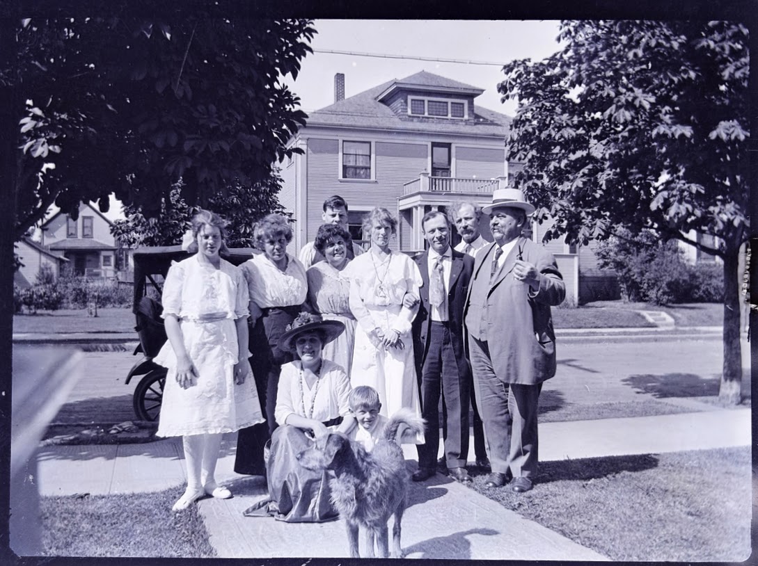
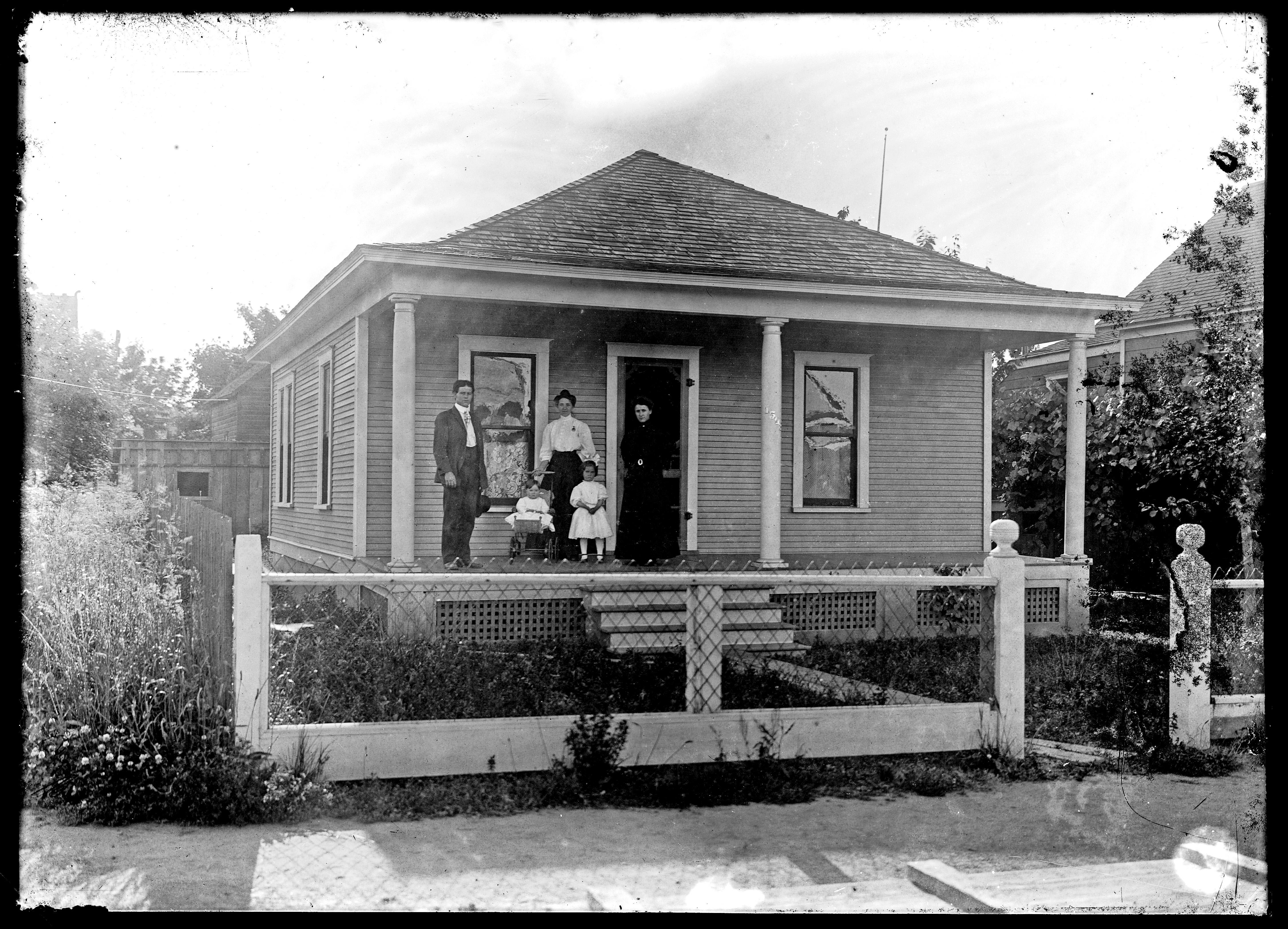
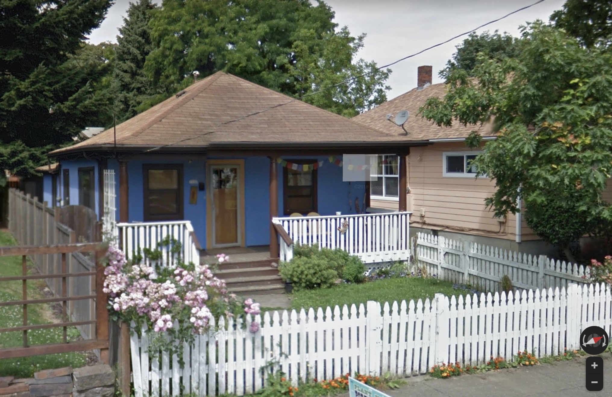
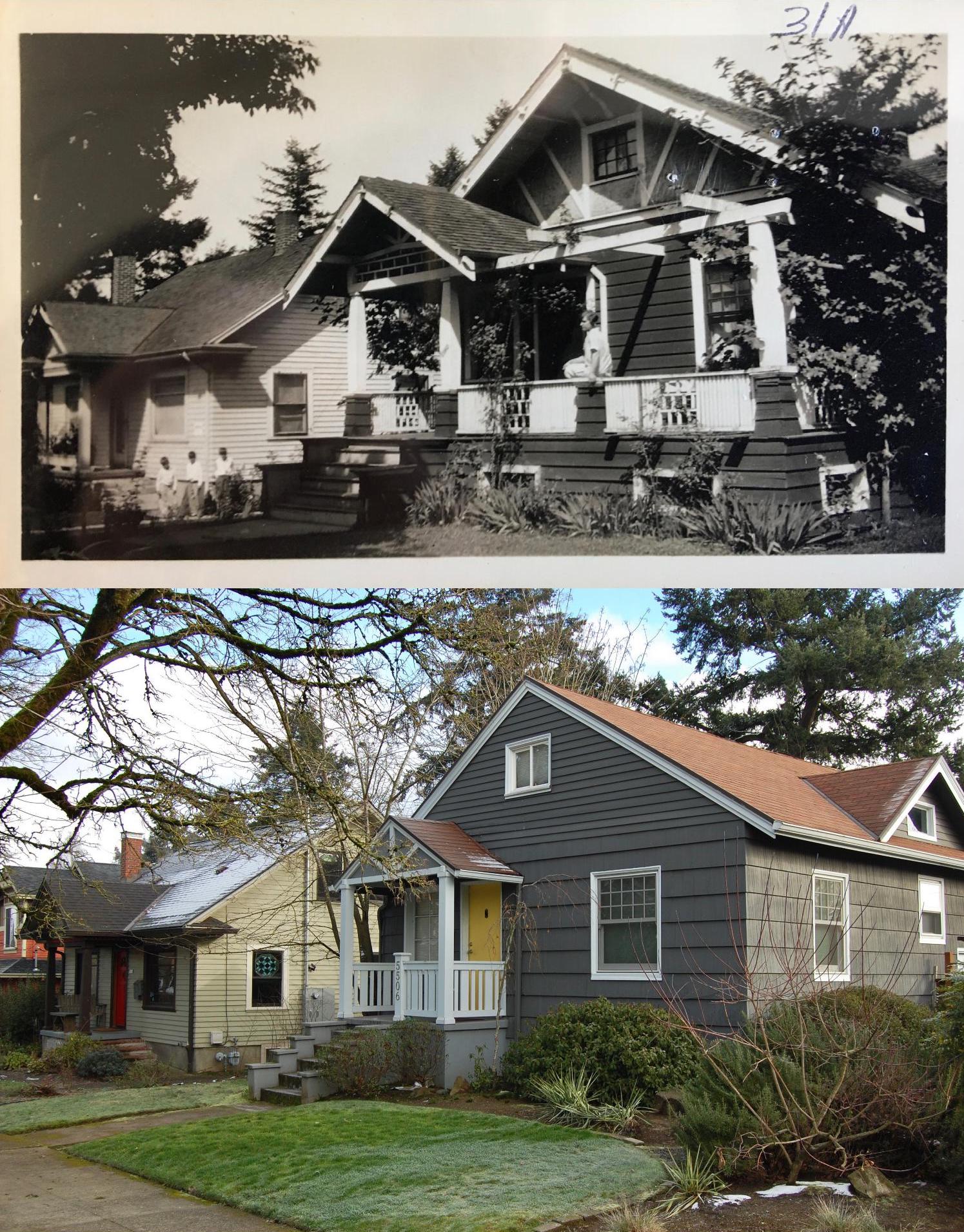
The von Homeyer family in front of their rented home on NE San Rafael just east of Martin Luther King Jr. Boulevard, about 1915. Hans von Homeyer standing in the back row, his father Hans in the back at far right. About 12 years later, Hans and Frances would name their eldest son Hans…who grew up in the Alameda house. The house in the background of this photo still stands today, though the family home on the south side of San Rafael has been razed.
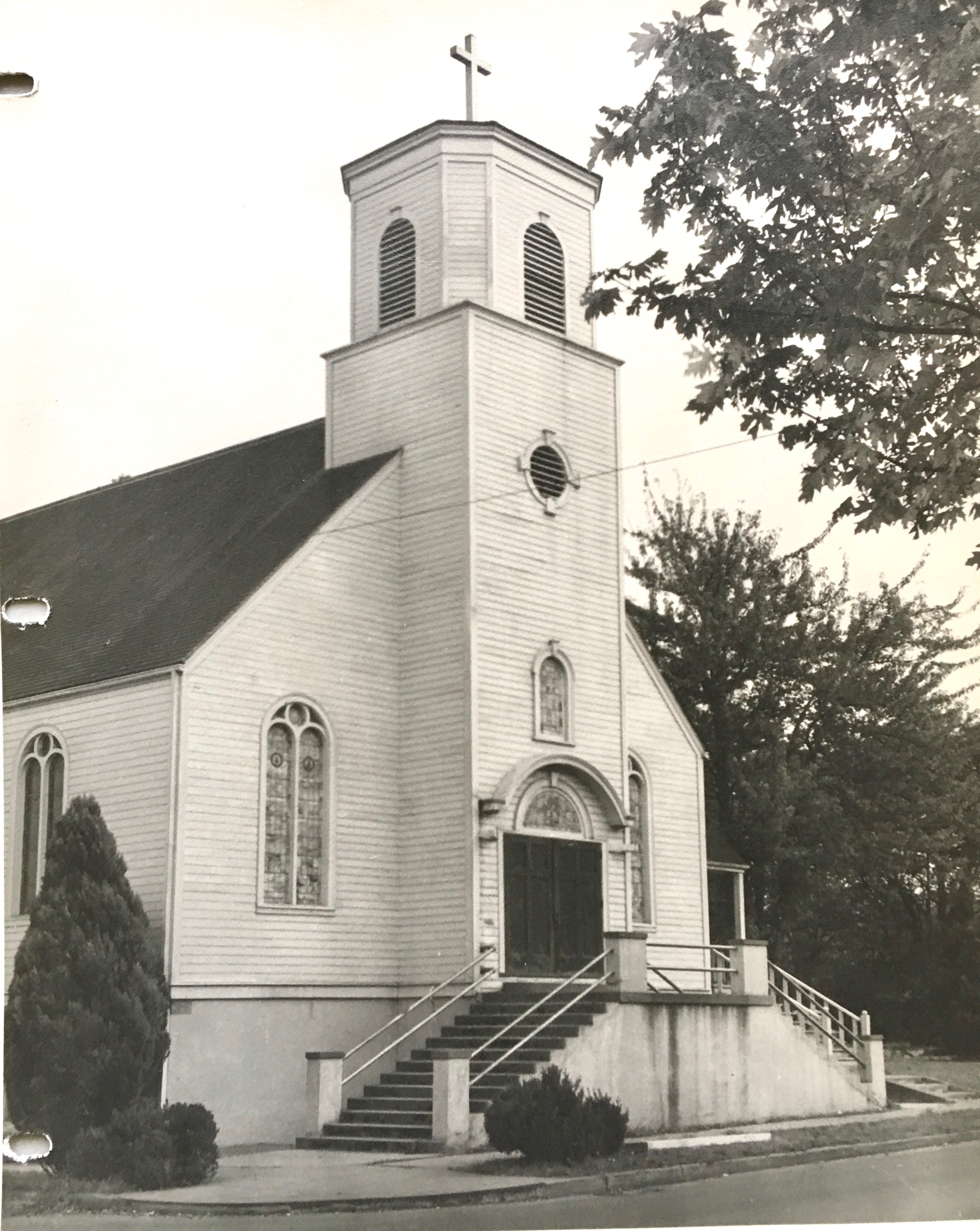
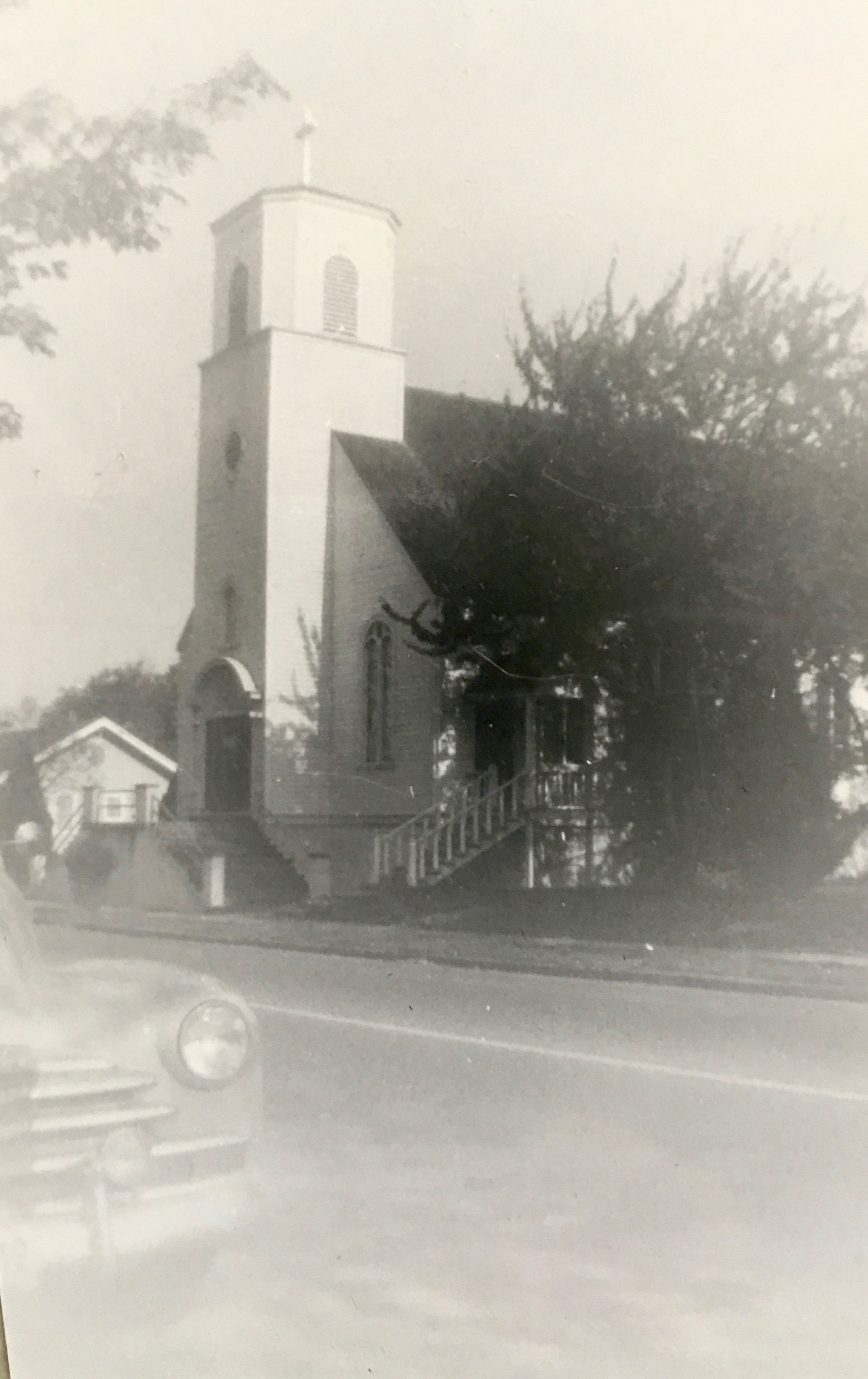
Some of the photos led us down faint rabbit trails seeking deeper insight, like the glass negatives of a family in its new house surrounded by wide-open fields, or the daredevil pilot who landed his plane on the ice beneath the span of a bridge, or the proud employees and their shiny fleet of delivery vehicles parked out front of the family business. We’ve figured out these stories and will share them in upcoming posts.
AH readers know we love photographs like this and have made it our practice and passion to connect past and present through old photos. Check out the Photo Detective and Old Photos categories here and you’ll see what we mean.
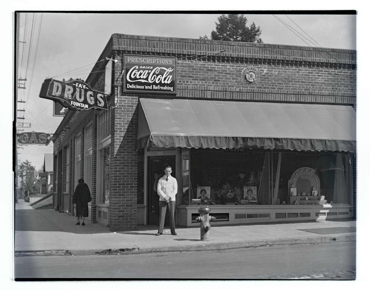
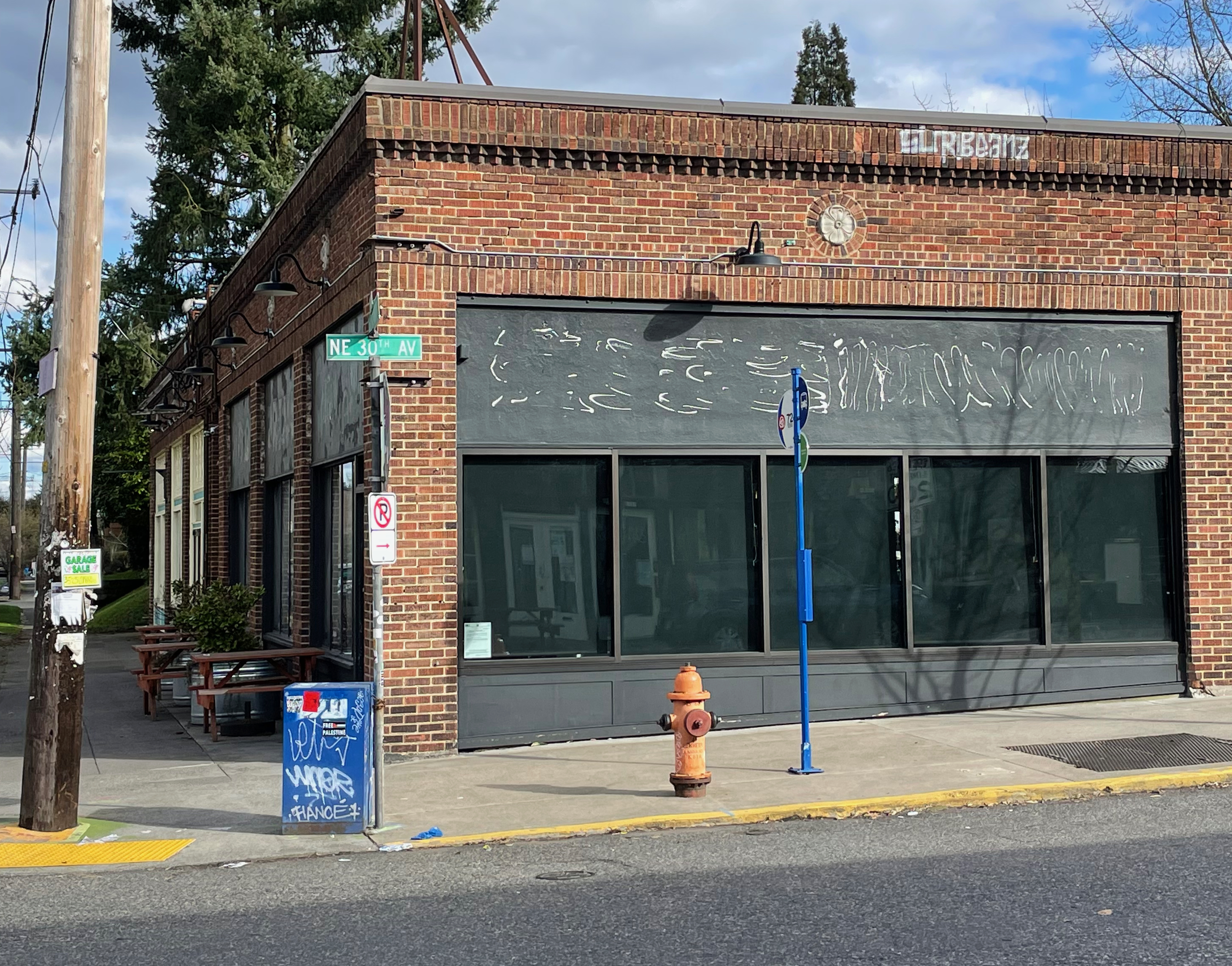
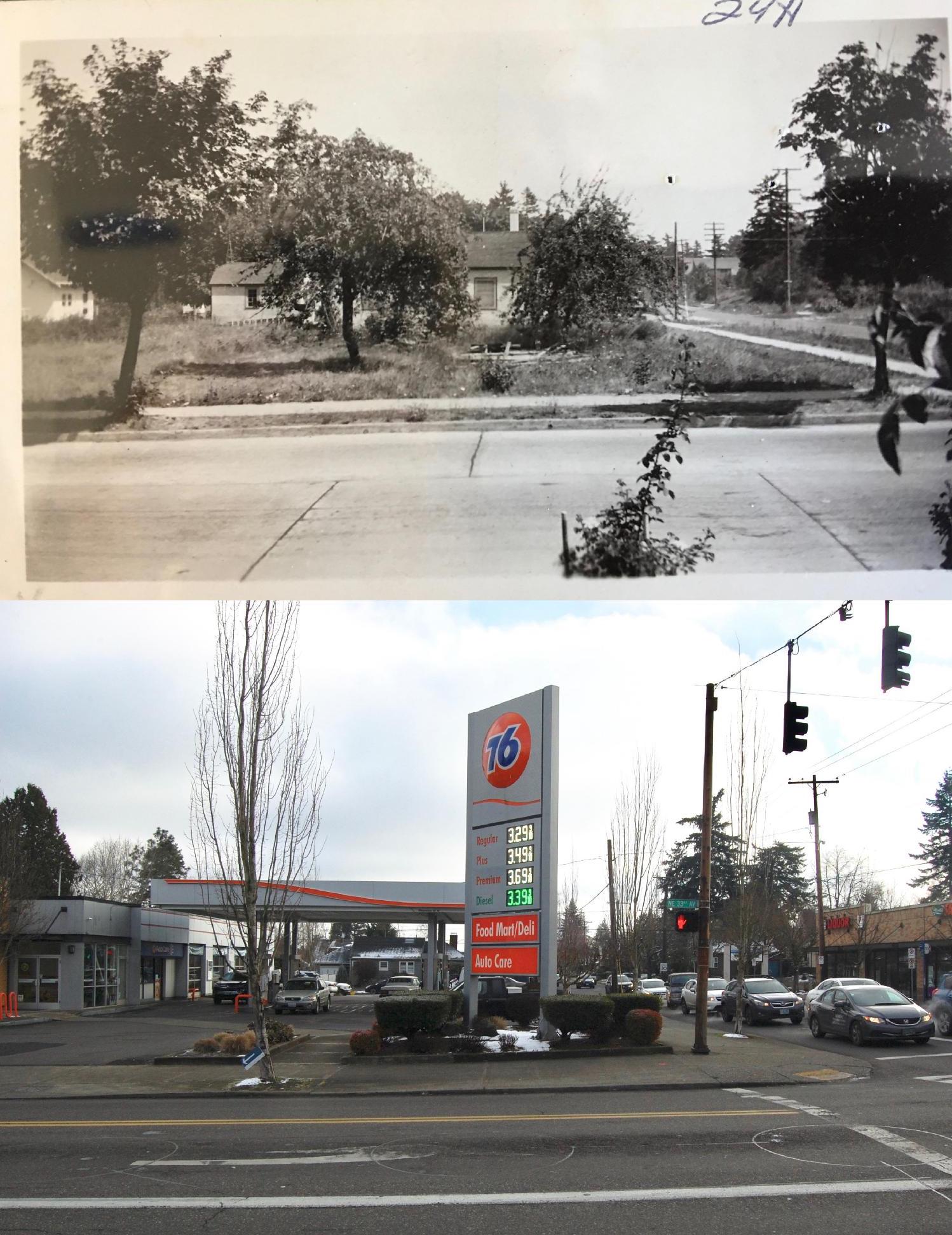
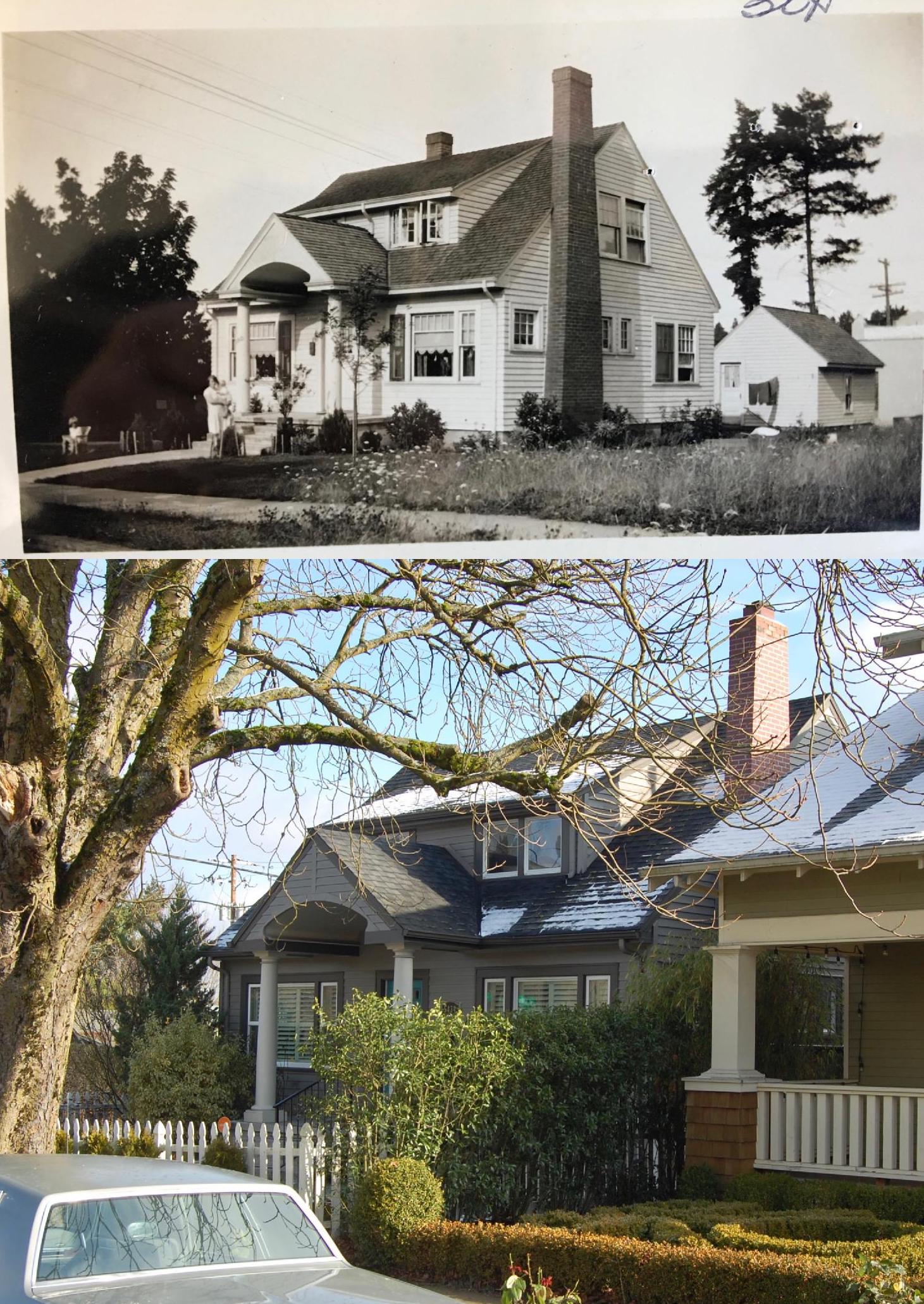
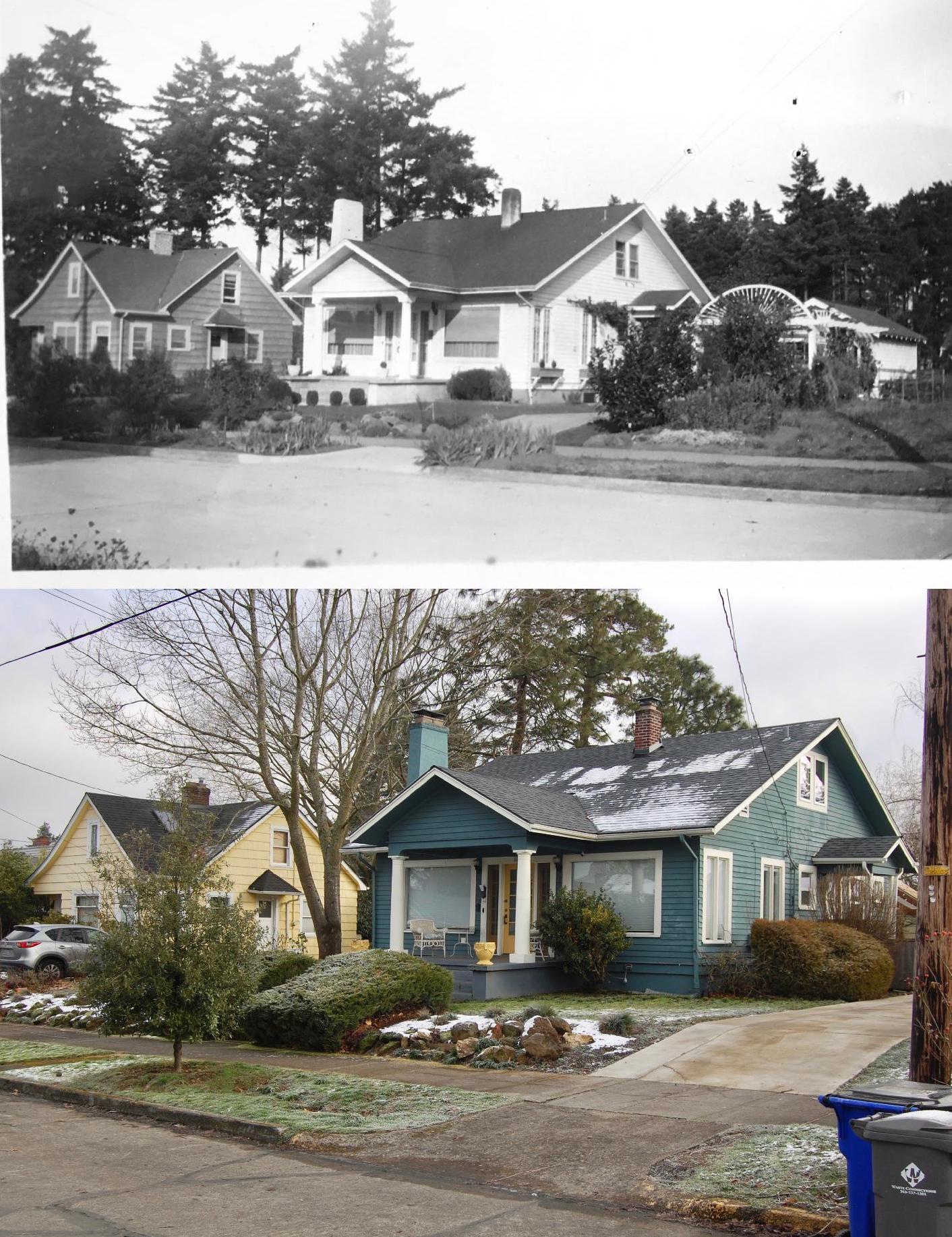
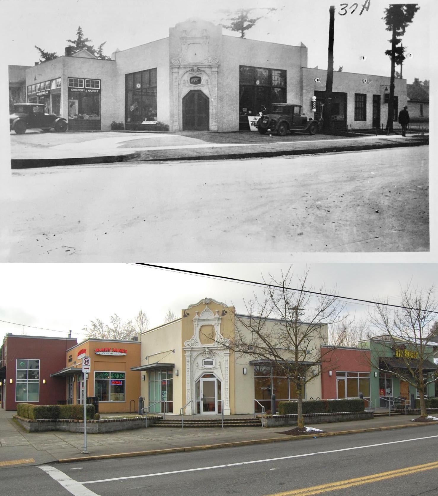
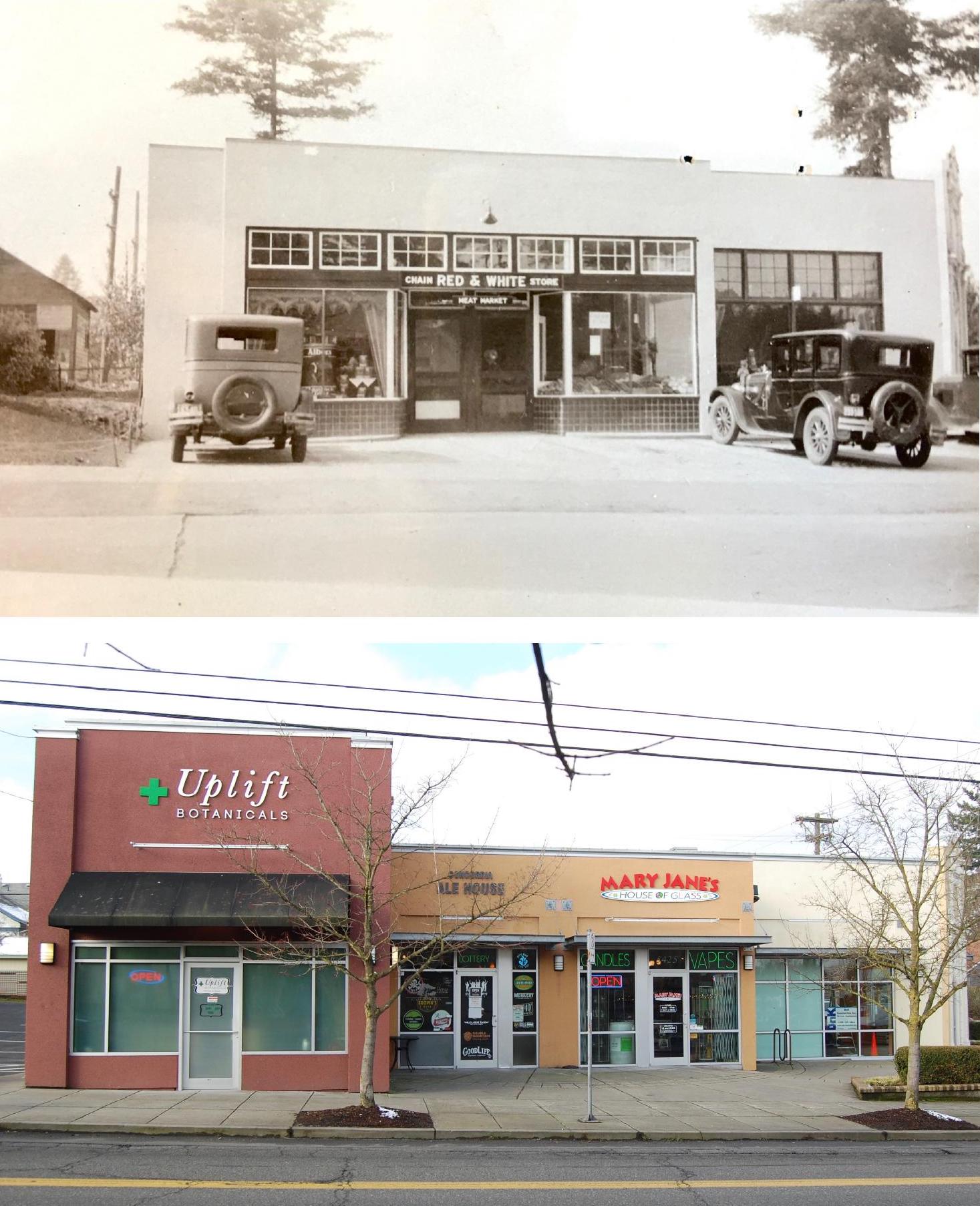
Other 100-plus-year-old photos revealed places still standing and recognizable amid utterly different human landscapes:
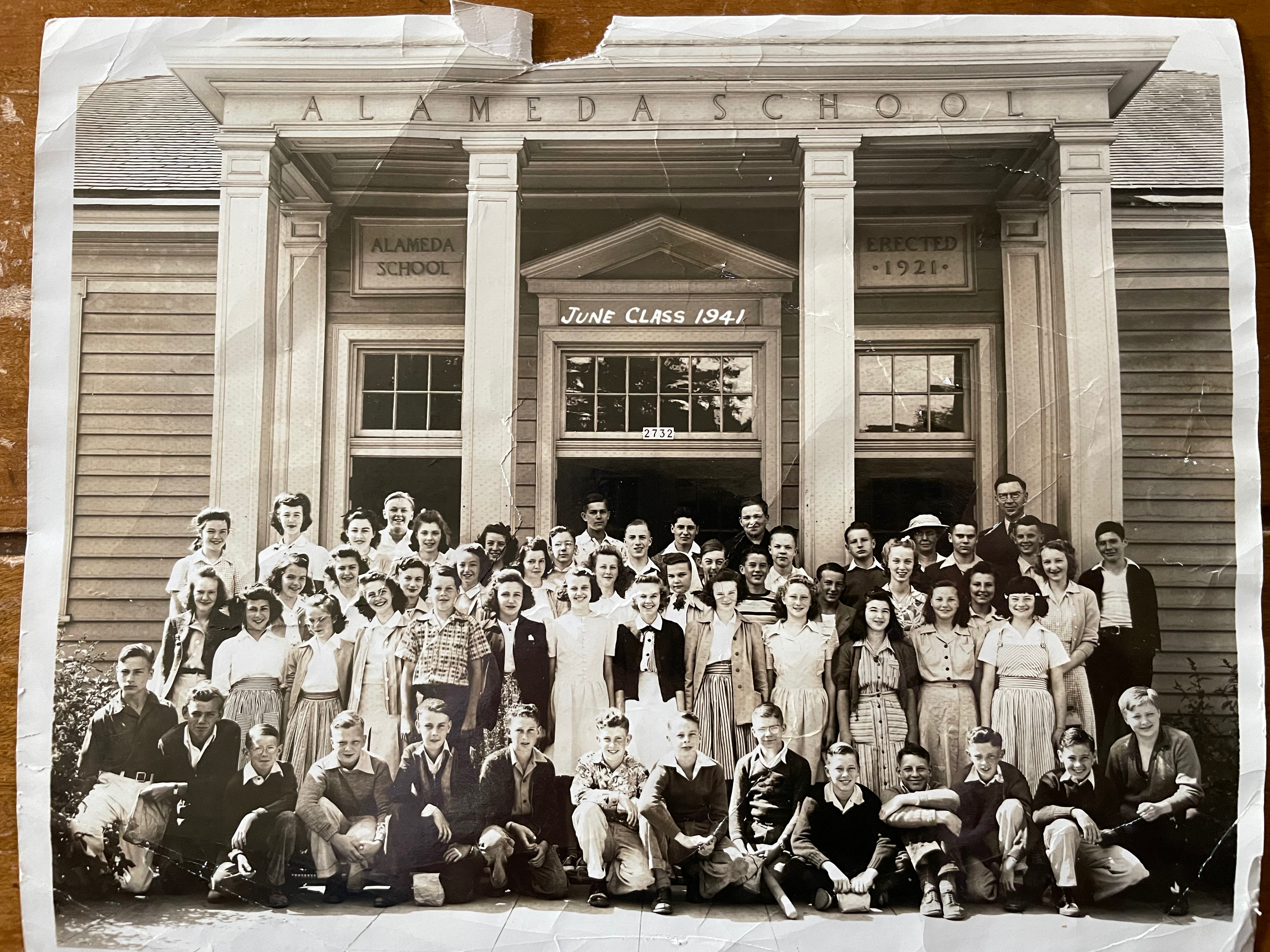
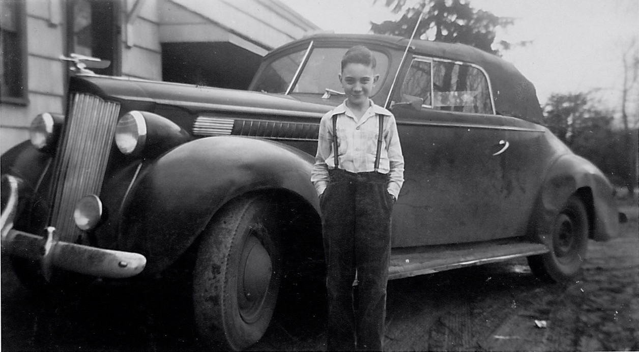
Young Hans von Homeyer’s 8th grade graduation from Alameda School, June 1941 (he’s at bottom right).
This winter and spring, as the busy new owners of the von Homeyer house sorted through barely accessible pathways in the crammed house, Michael would call us to come pick up another bag and another box and another bigger box of photos and items they had unearthed that we were helping him sort. Beautiful family photos of special moments that had once meant a great deal to someone. And here they were without context, names, locations or anyone to try to understand them.
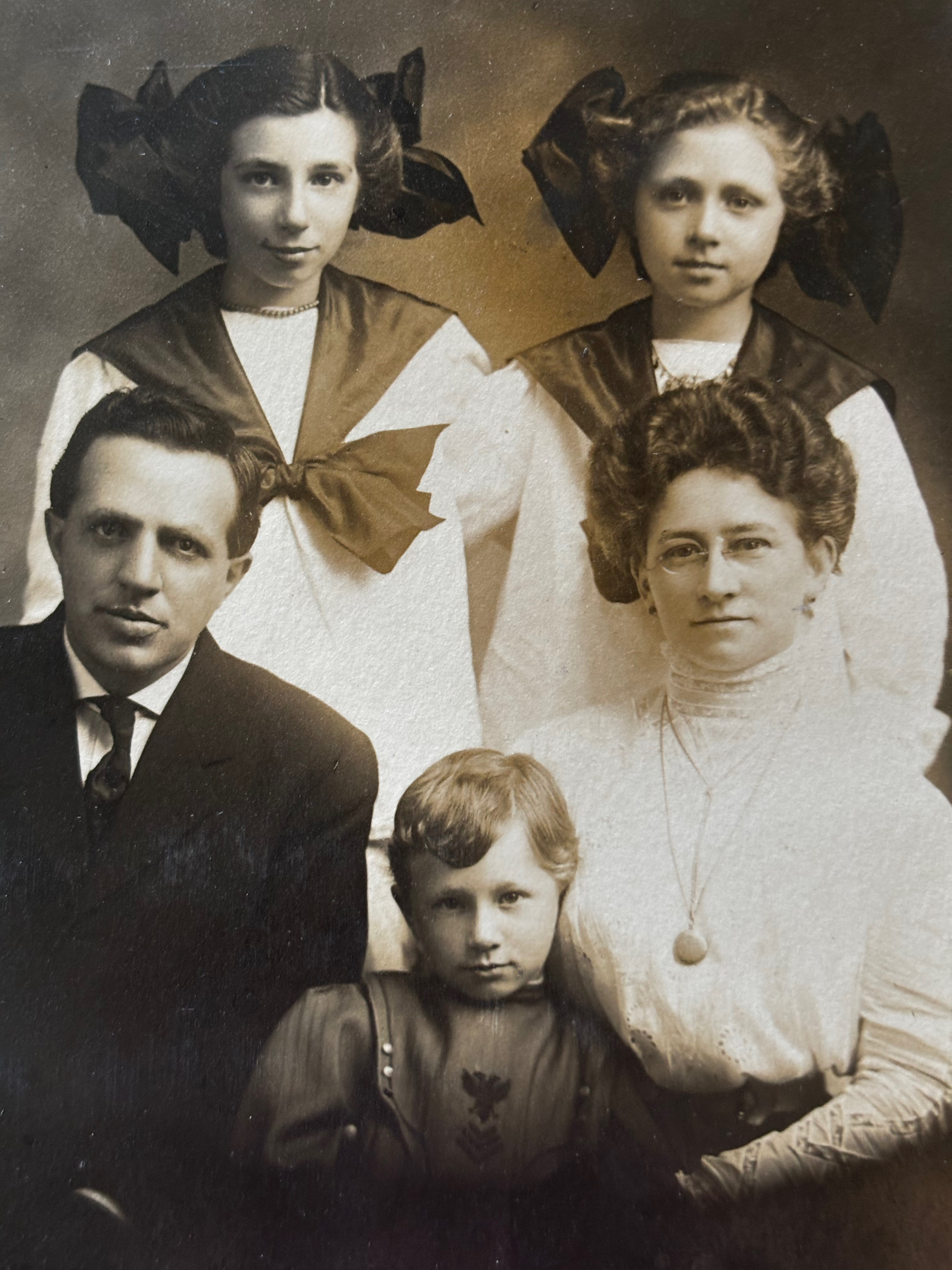
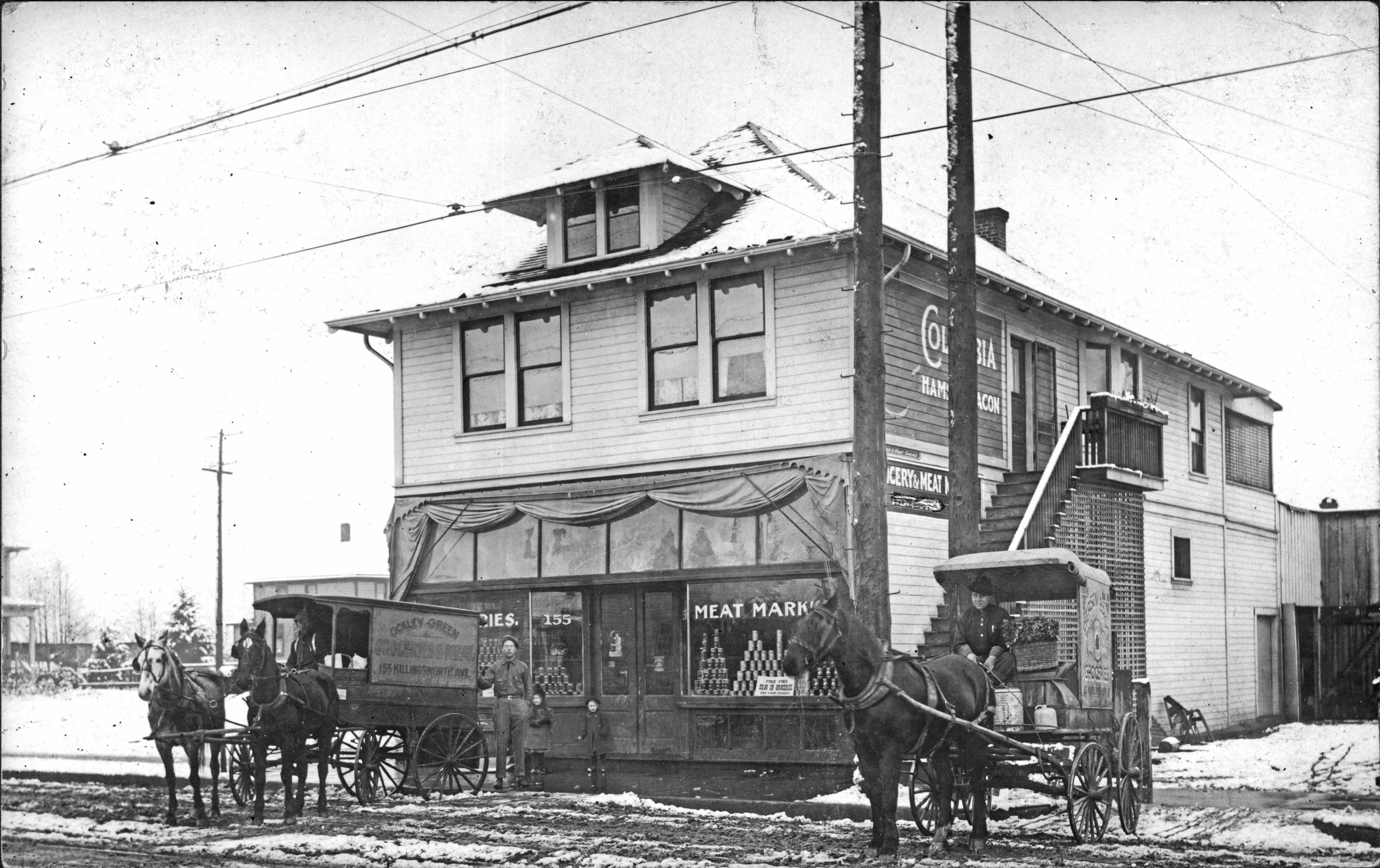
The Westhoff family of Vancouver about 1910
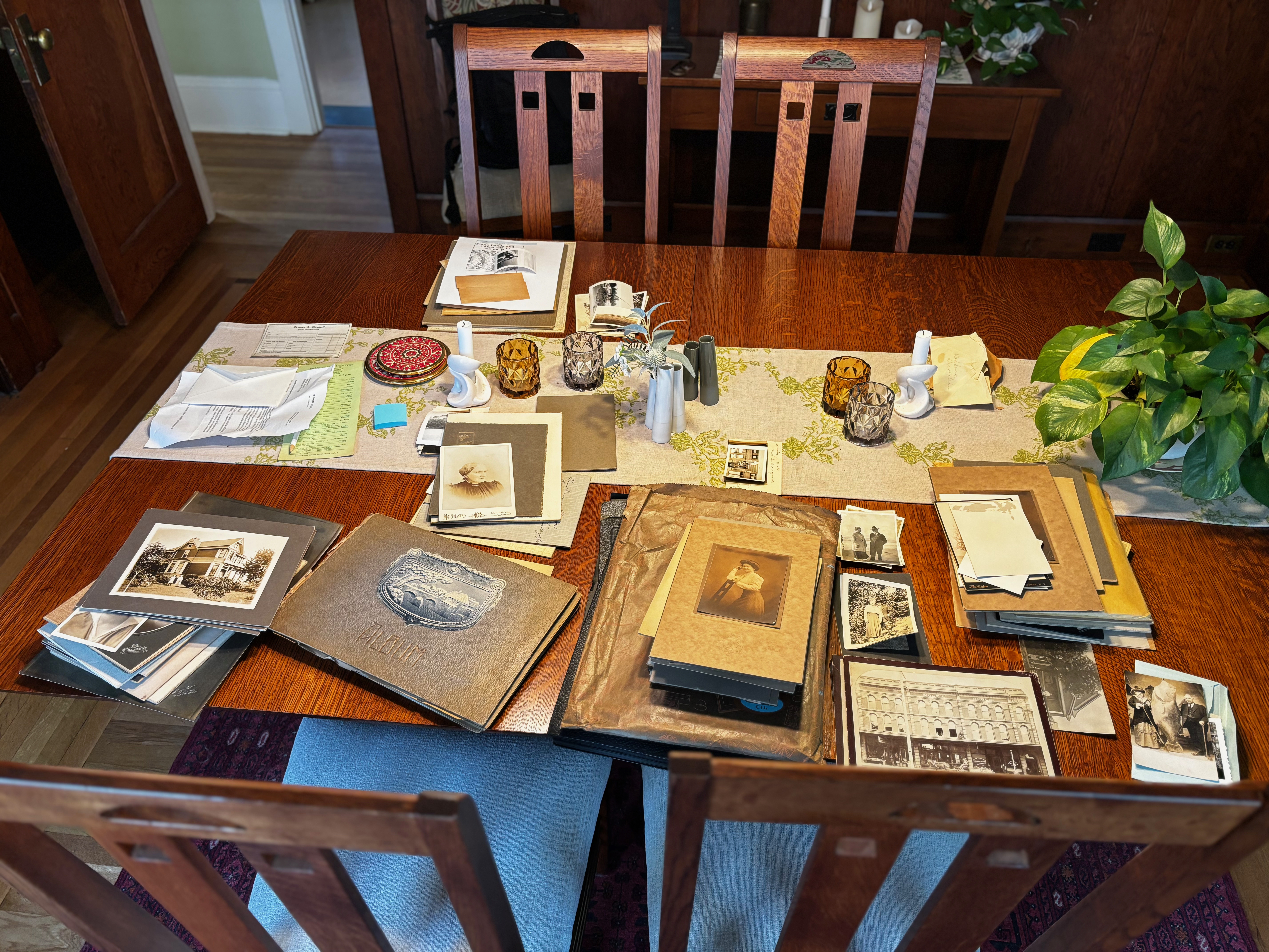
We spread them out on our dining room table and began to look back at them and get to know the faces, their surroundings and the visible family relationships. Next, we sorted by era, location and family group. Handy genealogy tools like censuses, marriage, birth and death certificates—combined with trusty other tools like building permits, old maps, newspapers, and city directories—helped us piece together a visual narrative that followed specific family lines and chronologies. We felt like we were getting to know these people.
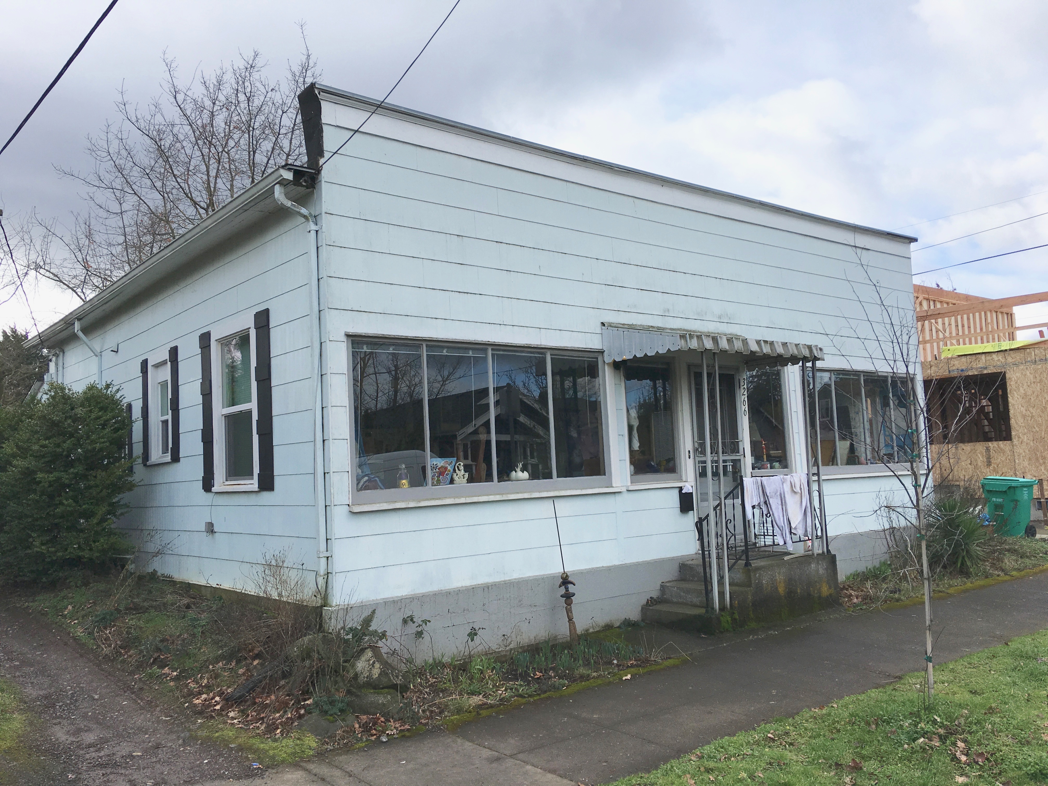
When we found houses or buildings we thought might still exist, we tracked them down, finding and then decoding addresses from Portland’s former street addressing system. We even knocked on a few front doors in the Portland area to pass along hundred-year-old views to surprised current residents (that was fun).
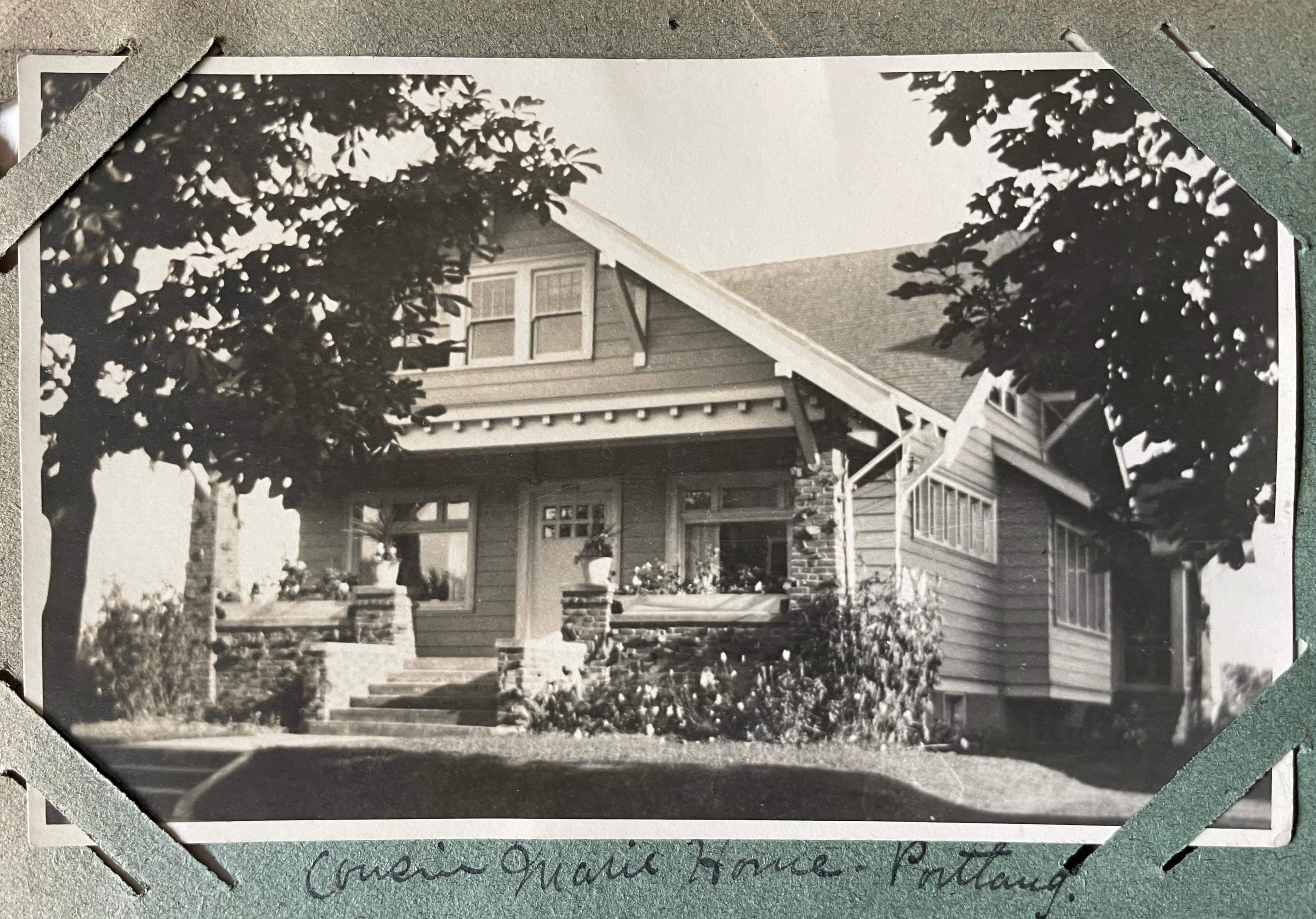
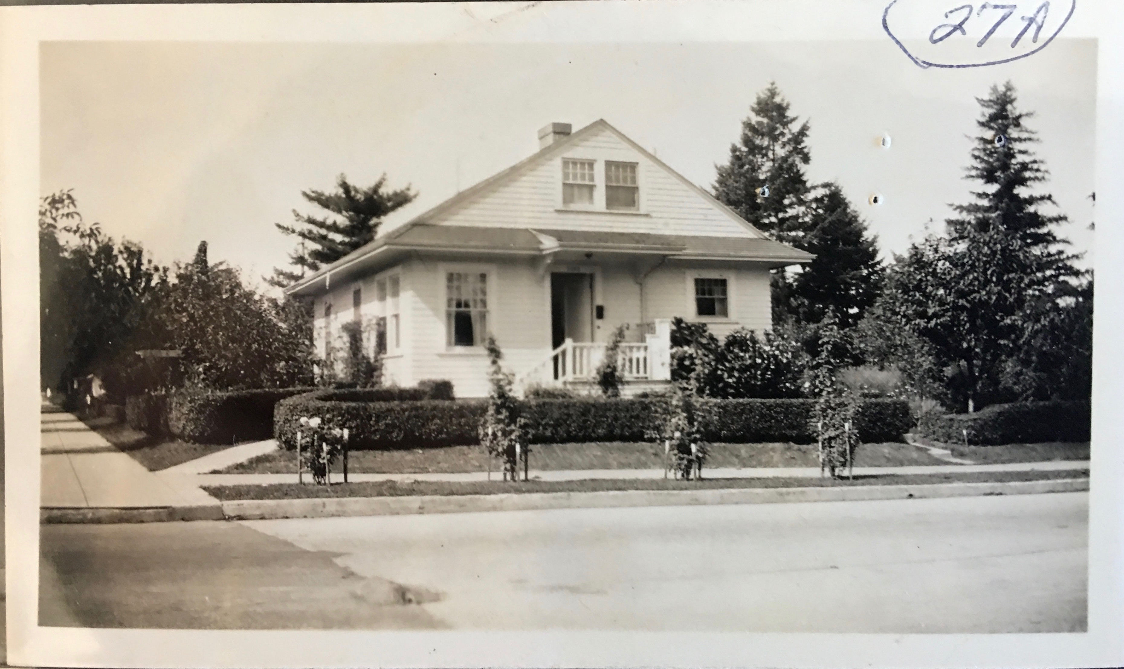
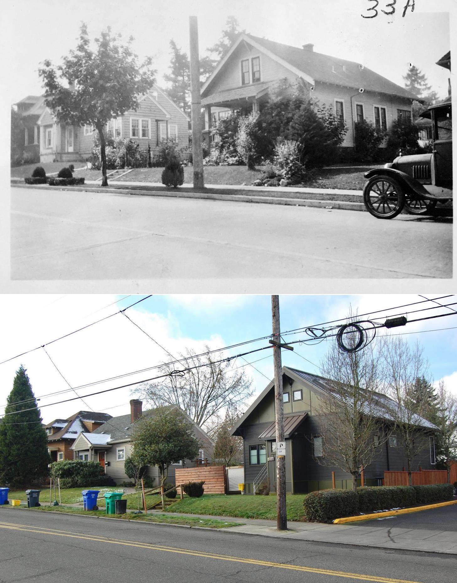
4246 NE Flanders, home of Frances’s cousin, about 1921. After figuring out its location, we gave this and several other photos to the current residents.
One of the humbling privileges of research like this is to watch as families grow and change before your eyes. Energetic, fresh newlyweds become grandparents. Young children gradually emerge as adults and then they are the elders. We’ve often experienced this compression of time while researching census and other paper documents, but with family photos it’s so much more impactful, reminding us of the brief time we actually have with each other. Blink. Change is our constant companion.
Gradually this spring we became visually acquainted with the people who inhabited the von Homeyer house, and their extended and earlier family members, many who lived in Vancouver. Two curated collections began to emerge from hundreds of beautiful portraits and heirloom photos of Frances Westhoff von Homeyer’s parents, siblings, grandparents, and of Hans’s immigrant parents, his siblings, and their businesses.
After multiple unsuccessful attempts at finding extended family members who might be interested in receiving these photos, a lucky break revealed contact information for two of Frances’s nieces, now both in their 80s. Their dad, grandparents, great grandparents and aunts and uncles—and so many family moments—were here on our dining room table; photos that hadn’t been seen or appreciated by family members for decades.
After a few phone conversations with the nieces–and the blessing and encouragement of new homeowners Michael and Jaylen Schmitt—we packaged up the hundreds of Westhoff family photos (almost 30 pounds) and shipped them off to the elderly nieces. Delighted emails and letters followed as they became reacquainted with faces they hadn’t looked into for a lifetime–many photos they had never seen–including pictures of their long-passed father as a boy.
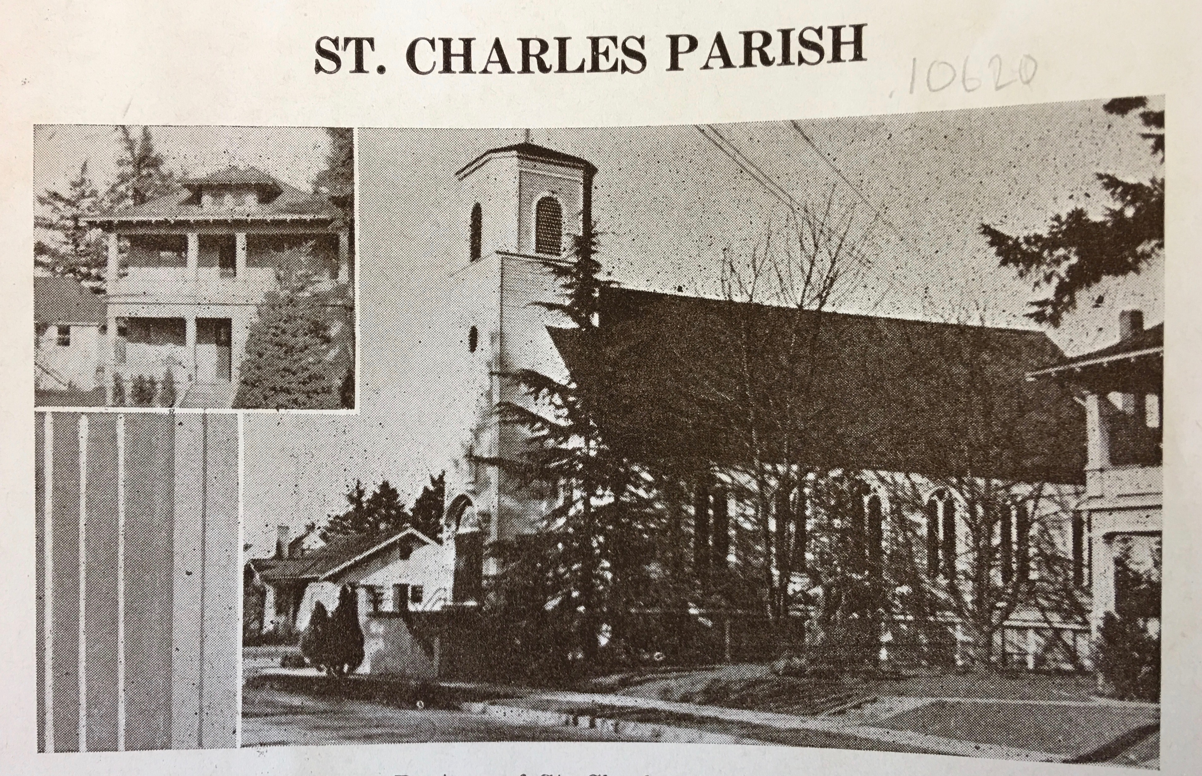
A similar but slightly smaller collection of photos from the von Homeyer side of the family still awaits placement. Because brothers young Hans and Karl never had children, and the family tree branches on their father’s side appear to be short or no longer in existence, these photos may remain solely as artifacts from their time. A smaller collection with views of the house and neighborhood will join the architectural drawings and other documents that stay with the house.
Note to self about old photos in your collection: talk with people now who know those elder faces and places. Write gently in pencil on the backs of those photos. Scan and share the images with other family members. As time passes, the family landscape and the surroundings we know so well today will evolve, landing these photos at the far edge or beyond understanding and recognition. Like the collections unearthed from the von Homeyer house, today’s ubiquitous family photos and snapshots may well be precious messengers across time for future generations.
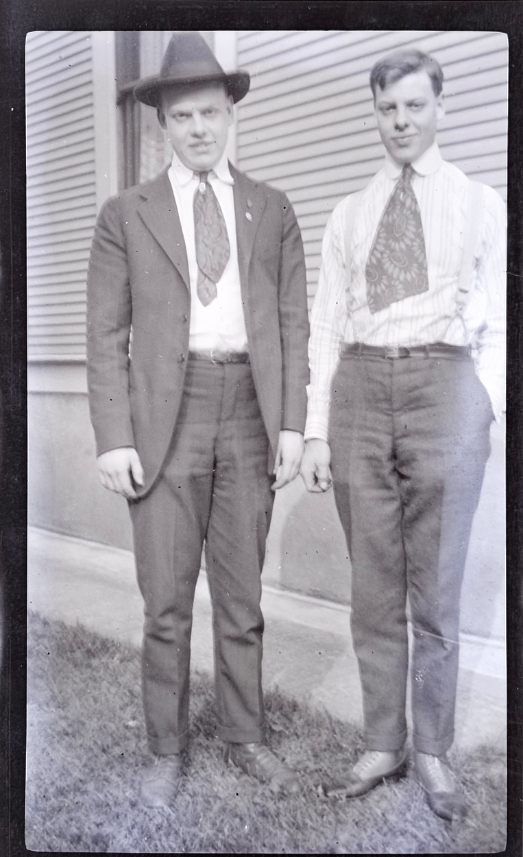
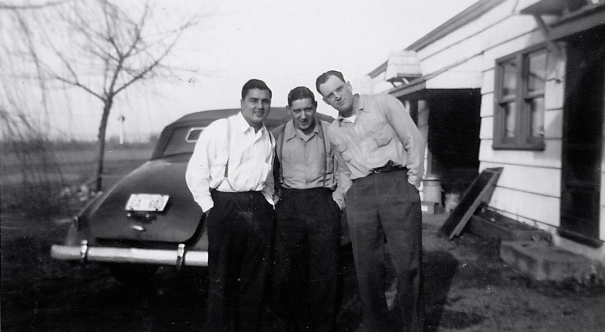
Brothers Erwin and Hans von Homeyer about 1916