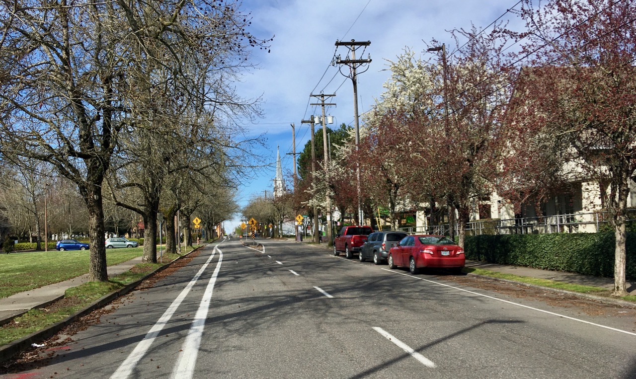
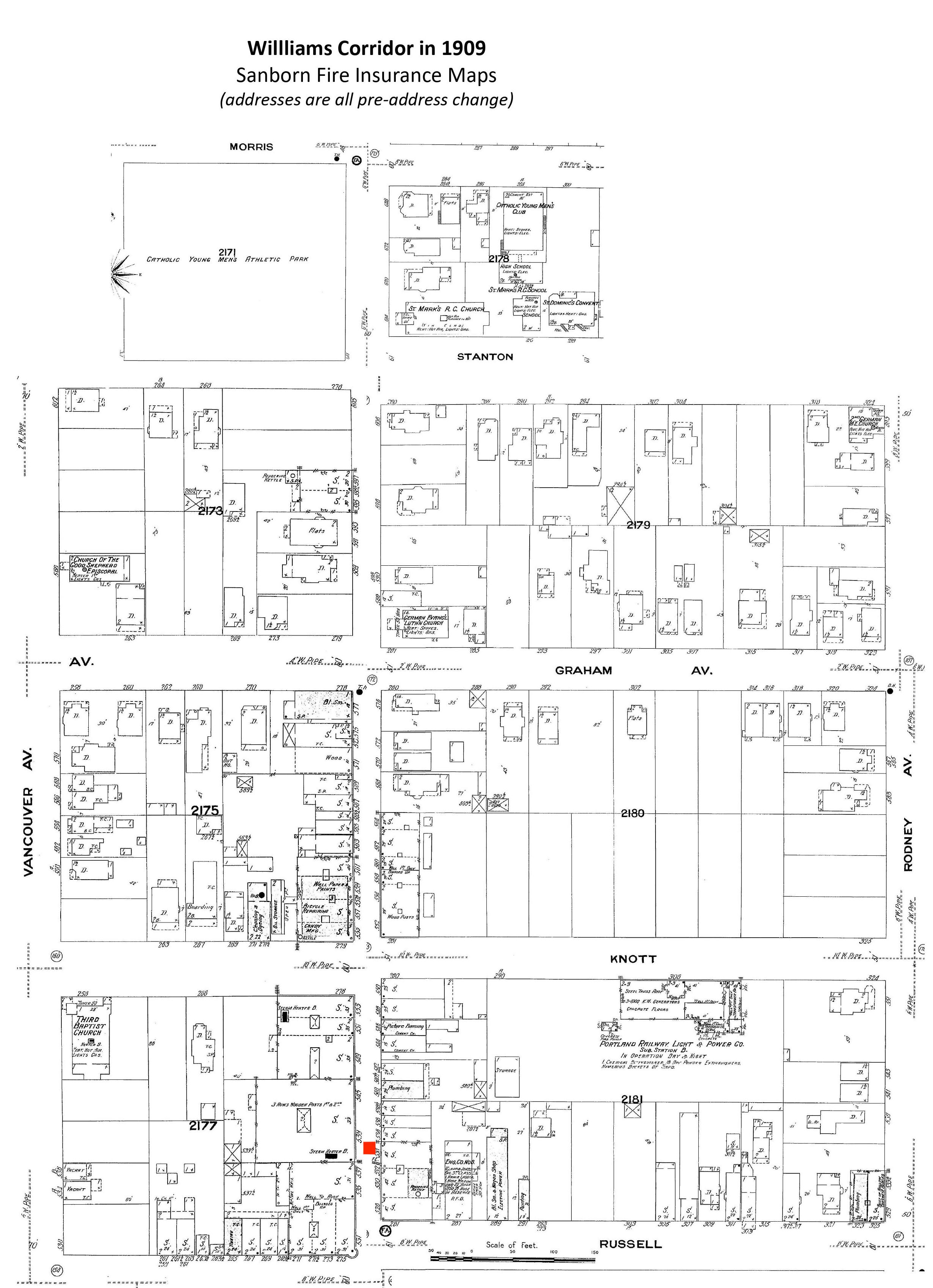
We’ve come across another outstanding early 1900s vantage point from Williams Avenue that you’re going to want to see (thanks Norm). This one is a nice southward-looking companion to the northward shot we featured a few months back. Be sure to study both and to take a good look at the Sanborn we assembled to get a feel for this long-gone place that was once a hub of activity for this part of Portland.
First, have a good look at the south view; then check out the north view that we’ve seen before. Then let’s discuss.
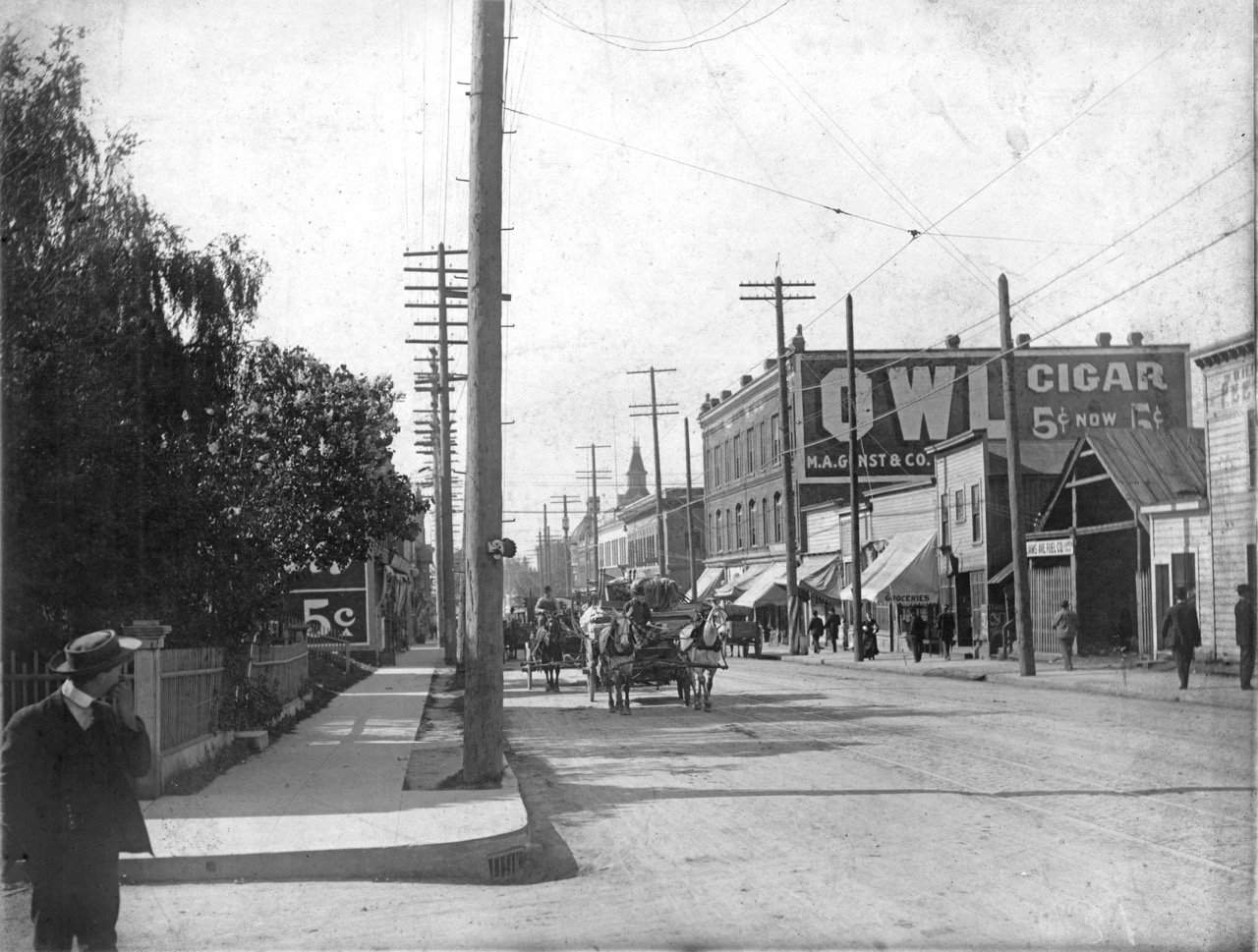
Looking south on Williams Avenue from Graham. Photo courtesy of Norm Gholston.
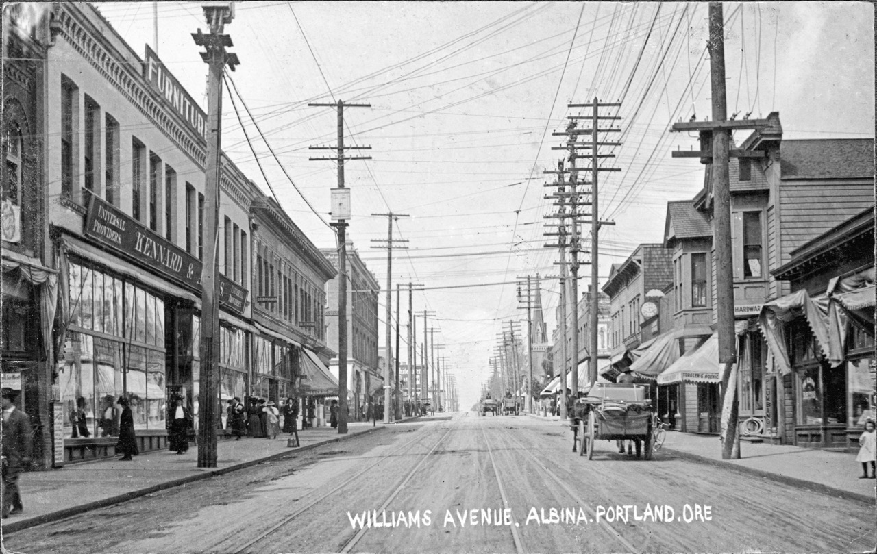
Looking north on Williams Avenue from Russell. Photo courtesy of Norm Gholston.
What do you see?
Let’s start by looking at the northward image, where you can just about see where this southward view was taken. See the picket fence that appears below the steeple of the Immaculate Heart Church and the bushy tree? Nearby, check out the utility pole that is leaning toward the street.
Now, look at the southward view: there’s the picket fence and the bushy tree behind our man in the hat scratching his face (and the leaning utility pole). That should help put things in perspective and establishes the photo was taken from the corner of Graham and Williams.
The crank on the pole (you can see others like it in the northward photo) allows for periodic maintenance of the carbon arc streetlight hanging overheard.
Look how fresh and clean those curbs and sidewalks look. Chances are they were built by Elwood Wiles, a household name you can still see today stamped into sidewalks all over the eastside.
The Willliams Avenue streetcar tracks owned the middle of the street, with streetcars headed north/south to St. Johns, which were shifted over to Union Avenue about 1911. No automobiles to be seen.
Look at all the awnings: in the southward photo shading the west side of the street from morning sunlight (and it might still be somewhat early judging on the length of the shadows that spill out into the street).
Check out the onion-shaped dome from the old Hill Block building at the corner of NE Russell and Williams, which can be seen today in Dawson Park. That intersection was the center of the universe for early Albina and a crucial part of the African-American cultural landscape well up until when it was torn down in 1969. That block has been vacant ever since, but planning conversations are underway.