A friendly AH reader has shared an amazing photo with stories to tell, so have a good detailed look at this (click to enlarge), and then we’ll take it apart and do some sleuthing. There are so many things to think about here.
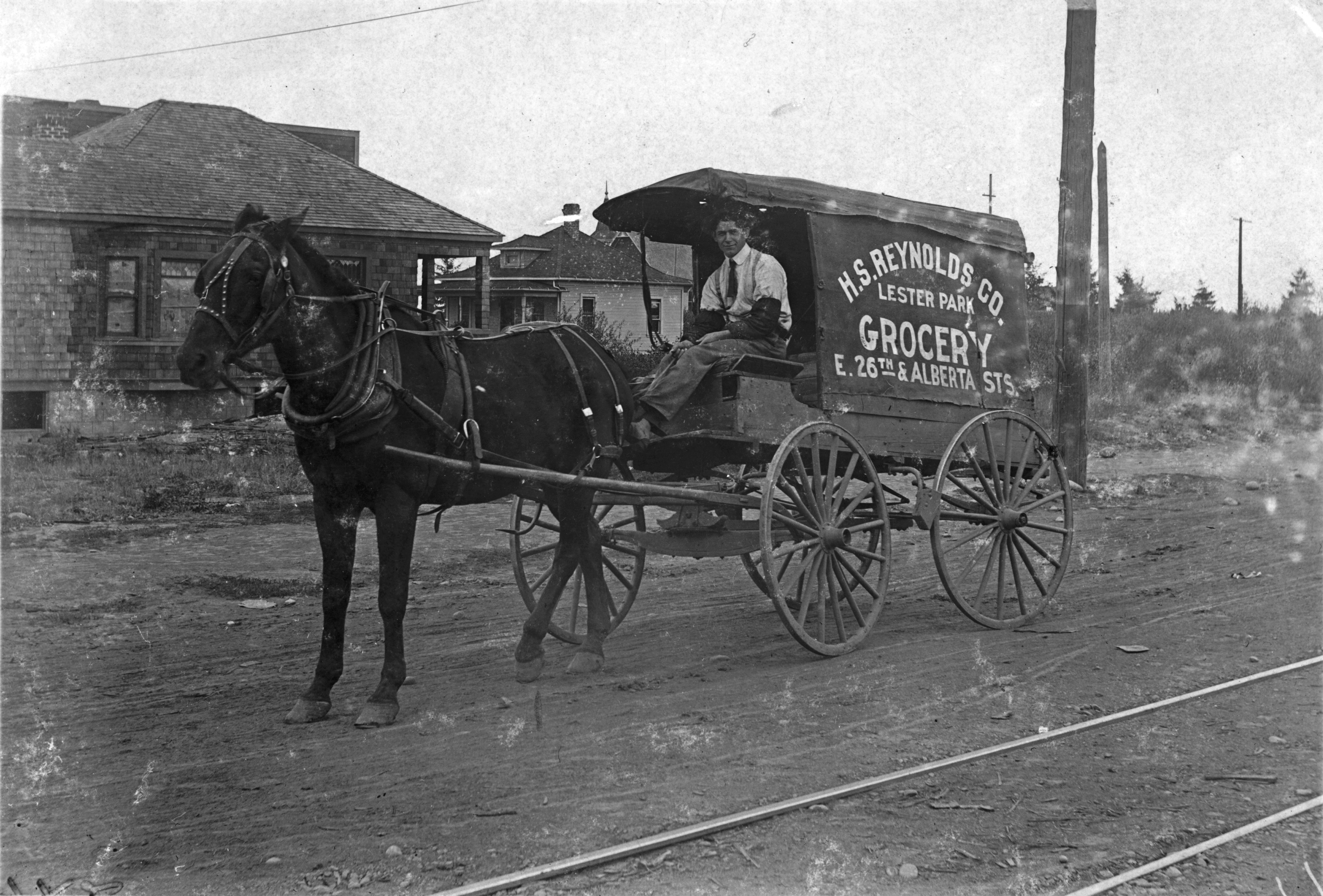
NE 26th and Alberta looking north/northeast, 1909. Photo courtesy of the Gholston Collection, used with permission.
In past entries, we’ve delved into mom and pop groceries, delivery horses and carriages, and the bustling early Alberta Street. Each is present in this picture taken at the corner of NE 26th and Alberta in 1909, three years before the Broadway Bridge was built and at a time when Portland had only 3,540 registered automobiles (so everyone was on foot, horseback or streetcar).
Just so we’re clear, Lester Park (the location painted on the side of the wagon) wasn’t a park, it was the name of a plat or subdivision, contained in today’s Concordia neighborhood (just one of multiple plats that make up today’s neighborhood). Here’s a look at that plat, filed in 1906 by H.L Chapin of the Arleta Land Company. It’s a compact little rectangle, running from Alberta on the north to Prescott on the south and between NE 25th and NE 27th, 145 total lots.
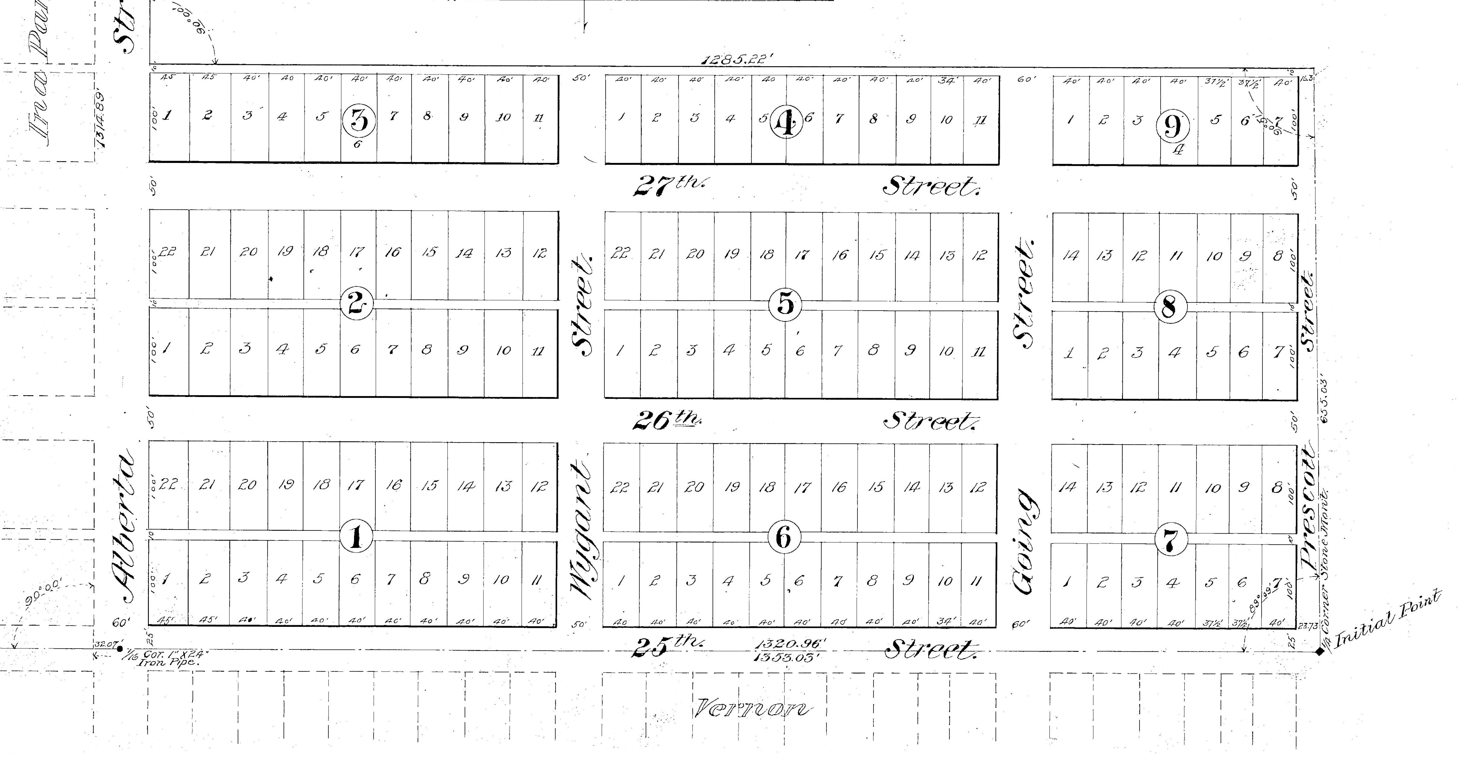
Lester Park Addition Plat, 1906. North is to the left, east is up.
The Lester Park Grocery was a dry goods and butcher store that stood in what is today an empty lot just west of the Waffle Window, 2624 NE Alberta. Its original address was 834 Alberta to be exact (remember that all of Portland was renumbered in the 1930s, so this address was before the change). The shop that H.L. Reynolds, his wife Carrie and her daughter called home also included several rooms for the family to live.
We’ve walked all over this part of Alberta with this picture in our hand, consulted early Sanborn maps of the neighborhood, examined building permits and local buildings to make an informed statement about exactly where this is. Here’s what we see and why we believe this view is looking north/northeast from out in front of Reynolds’s shop at NE 26th and Alberta:
- There are some distinctive houses in the background of this old photo, including a church steeple, which we believe is the building on the southeast corner of NE 27th and Sumner known today as St. Luke Memorial Community Church of God (2700 NE Sumner), but was then the newly constructed United Brethren in Christ Church, built in 1910.
- Appearing directly in front of the carriage driver in the old photo is a light colored home. This small hipped-roof house with chimney slightly off center and front dormer is today’s 5028 NE 26th (painted red) with the front porch now enclosed. This house was built in 1906. Here’s a look from Google streetview. See it under all that?
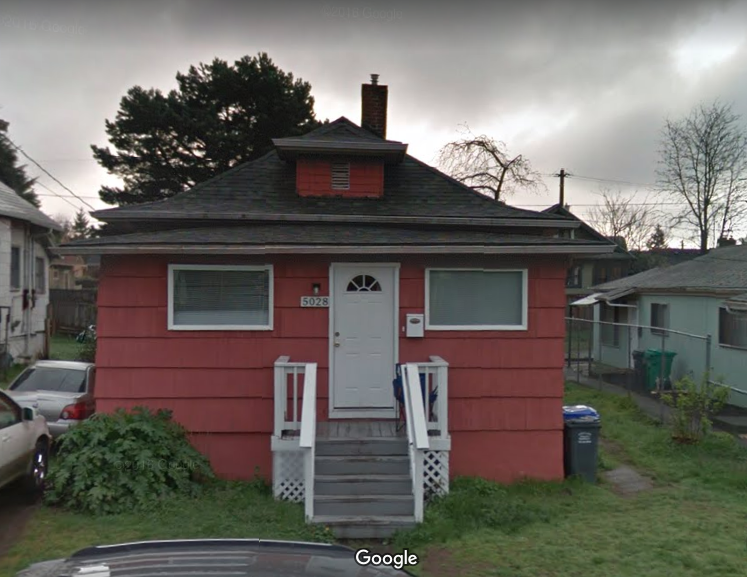
Current photo of the small house that appears just above the horse’s rump in the 1909 photograph. Look carefully at the hipped roof, mini dormer on top and slightly off-center chimney. Yep, that’s the same house. Built in 1906 by Mary L. Coger. Thanks to Google Streetview.
- We know that in 1909 the Alberta Streetcar line (visible in the foreground of the photo) was still just two rails in the dirt; and we know this part of Alberta was not paved until the summer of 1911).
- We also know that H.L. Reynolds, who may well be the man in the photo, was associated with the grocery until about 1910. The 1910 census shows him (age 36) and his wife Carrie living in the residence associated with the shop.
That would make the corner of the house you can see just above the horse’s head about where the corner of Mae Ploy Thai Cuisine is today (obviously a different building).
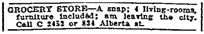
Reynolds was arrested in April 1909 for assaulting his wife and stepdaughter and disappears from the Portland scene the next year. Meanwhile Carrie takes over the shop (and probably the horse and carriage) and decides to sell it all off. Check out this series of classified ads from The Oregonian where she almost pleads for a buyer:
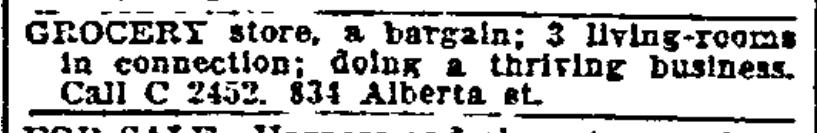
March 31, 1911
April 8, 1911
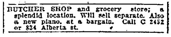
April 21, 1911
Carrie did eventually sell the place and leave town. The shop was taken over in 1913 by Mrs. Edna Albertson who ran it as Albertson’s Dry Goods Store (not related to today’s Albertson chain) until 1921 when she was killed in an automobile accident while traveling to Tillamook. How this photo has come down the years–who saved it and why–remains a mystery.
This picture is definitely worth 1,000 words. Thanks to Norm Gholston for the opportunity to take a trip back through time. Here’s another photo sleuthing adventure just up the street related to Ford’s Pool Hall. And one more related to a family bakery with a fascinating back story.
We love this photo and are always on the lookout for views like this that help us think about the past.

